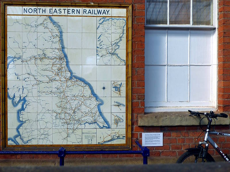
I started a three-day trip today, relying for directions on a unique map that’s (a) made of tiles and (b) useless. It’s the mural atlas produced 120 years ago by North Eastern Railways showing their train network in Yorkshire, County Durham and Northumberland. They made 25, nine of which survive in their original locations, six of them in Yorkshire.
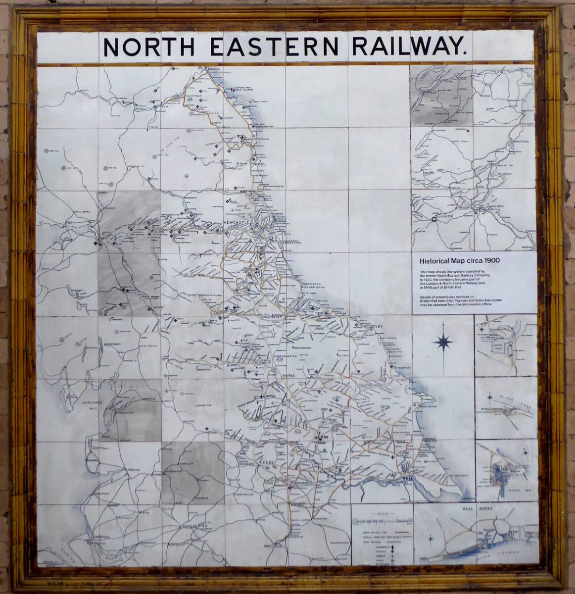
They planned for the long term, unlike every government’s transport policy since, and had it put on tiles. That’s because tiles are stain-free and last forever, unlike current prime ministers.
(For more about the story of the Tile Maps, see the Beauty of Transport blog.)
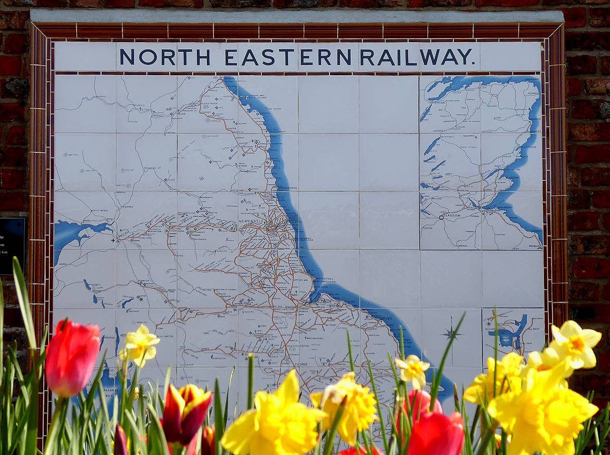
The Tile Maps proudly display the then-comprehensive coverage of rail lines. You could get pretty much anywhere in Yorkshire by train. Sadly, of course, the Beeching Axe of the 1960s destroyed most of it, especially in my homeland of East Yorkshire. The Tile Maps have lasted twice as long as many of the railways they depict.
So while (for example) Hull to Hornsea, Hull to Withernsea, York to Market Weighton, Scarborough to Whitby, Malton to Pickering, and Whitby to Middlesbrough, look inviting and direct routes on the map, they don’t exist today. The track was ripped up, the routes thrown away. Small sections were sold and built on, not enough to make significant money, but always enough to prevent them ever being useful again.

Except, perhaps, for cycling. Hence this ride. I decided to visit all six in situ Yorkshire Tile Maps – at York, Beverley, Scarborough, Whitby, Saltburn and Middlesbrough – and three faithful replicas, at Bridlington (but see below), Hunmanby and Pickering.
I followed the Tile Map to plan my route, taking the train where I could, cycling where I couldn’t, and at one point taking a bus (yes, one that takes bikes).
It proved a splendid trip. Here’s what happened…
MORE TILE MAPS
There are three original in situ Maps in Northumberland, at Hartlepool, Tynemouth and Morpeth. The old Tile Map that used to be in King’s Cross spent some time in York’s National Railway Museum before being moved to its present home in Shildon Railway Museum, Co Durham. There are also several Tile Maps replicas, though not on public view 24/7 (as are the nine Maps featured on this blog). One is at Barter Books in the old railway station in Alnwick, Northumberland. Others exist in private houses.
Tile Map 1/9: York
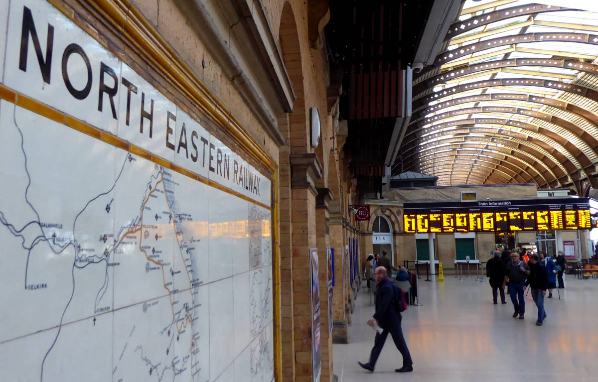
My ceramic cartography odyssey began at home, in York. Our Tile Map is on the main station concourse, near the information boards giving helpful details about Transpennine’s cancellations. This was the first Tile Map I ever saw, before I lived in York, when I was much younger, say 50. I was fascinated by it, and spent many a happy hour gazing at all those lost lines, as I waited for my delayed return back to King’s Cross.
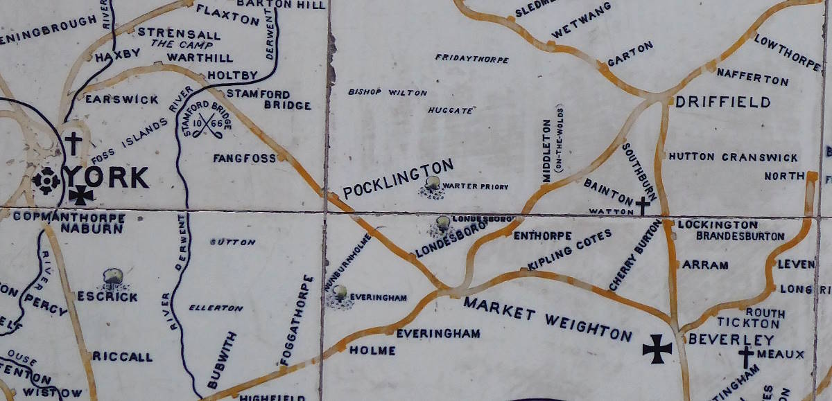
According to the Tile Map, it’s a nice direct train journey to the next Map at Beverley, via Market Weighton. However, that ‘Minsters line’ was condemned by the evil, corrupt, car-loving Tories as part of the Beeching Disaster, despite the fact it was covering its costs.
The decision was ideological, not economic – because there was another longer, slower, three-sides-of-a-square alternative via Selby and Hull (the way you have to go today). Wilson’s Labour got in at the next election and promised to reverse the decision, but then went ahead anyway. Labour imitating Tory ideology is nothing new.
That old line east to Beverley started off actually heading north out of York, as if misreading the compass. A short section of it forms a tarmac cycle path to New Earswick. It then remembers where it’s supposed to be going and veers off right, over flat farmland. Most of the old trackbed to Market Weighton is now lost, but a short section forms another bit of cycle path in Stamford Bridge, on a former aqueduct (part of the Way of the Roses).
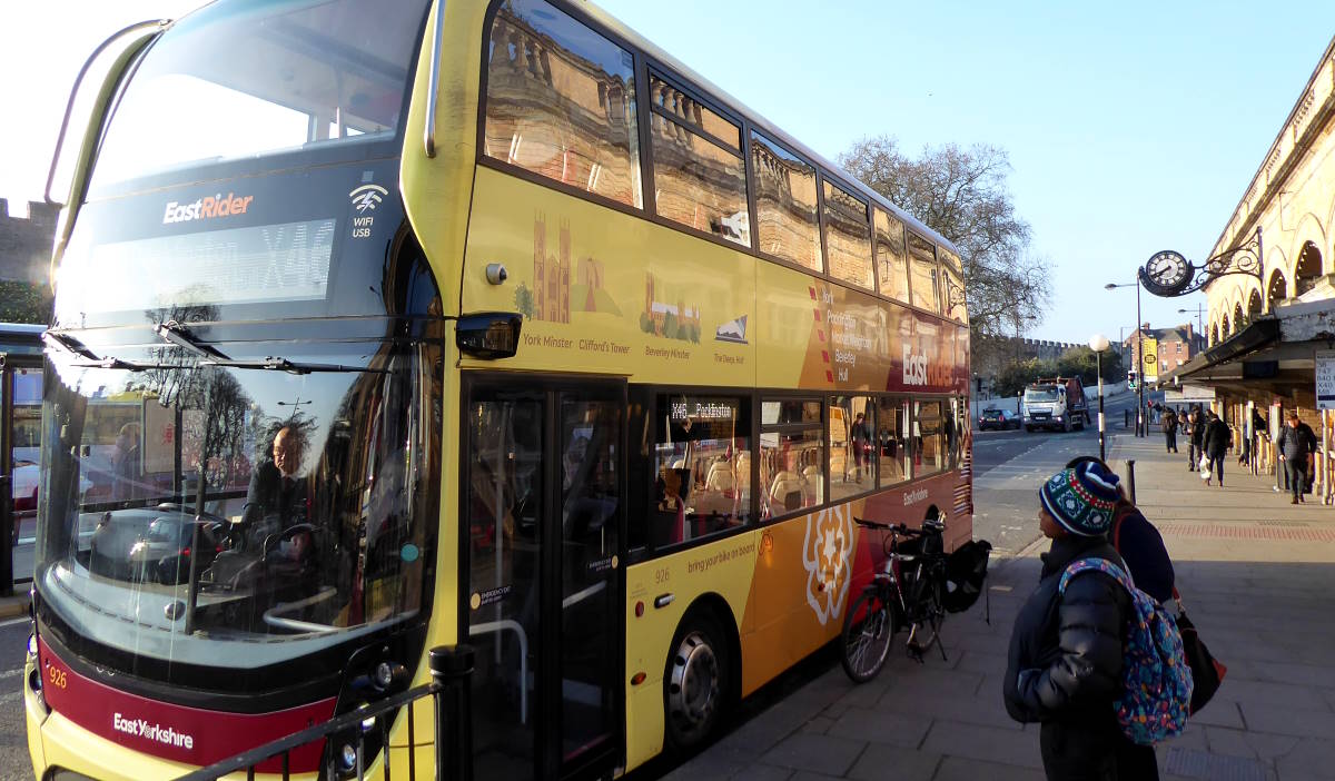
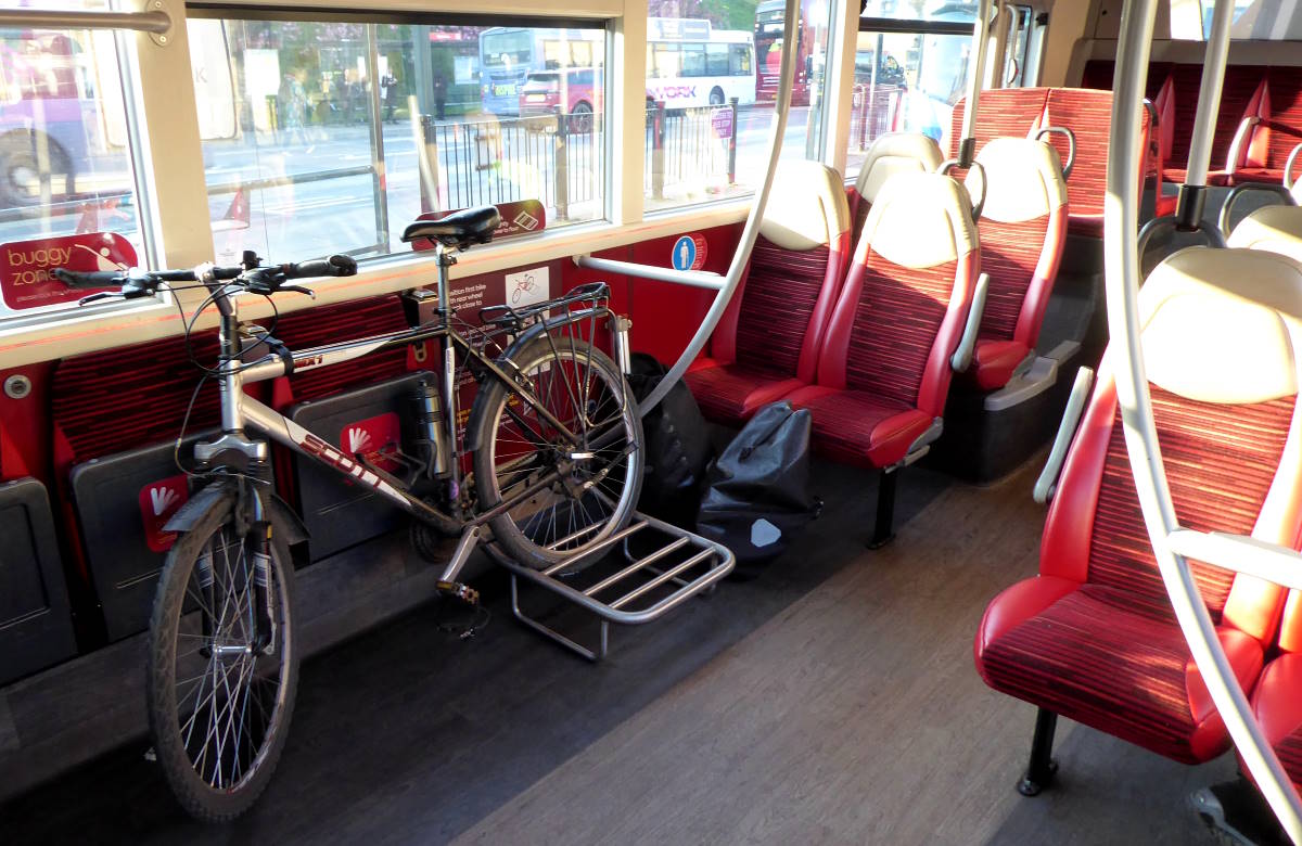
I could have biked to Market Weighton of course. But to get me and bike there, en route to Beverley this morning, I had an extra option. An easier one. The X46 York-to-Hull bus takes (full-size, walk-on) bikes, and with fares currently at £2 under a national promotion, I got to Market Weighton that way, avoiding a lot of rather dull road riding into a headwind.
The Tories thought that destroying the railways wouldn’t matter, as buses would take up the slack. Mostly though that didn’t happen, because the Tories then decided buses should be cut back too. But hooray for the X46: only a handful of services round England take bikes.
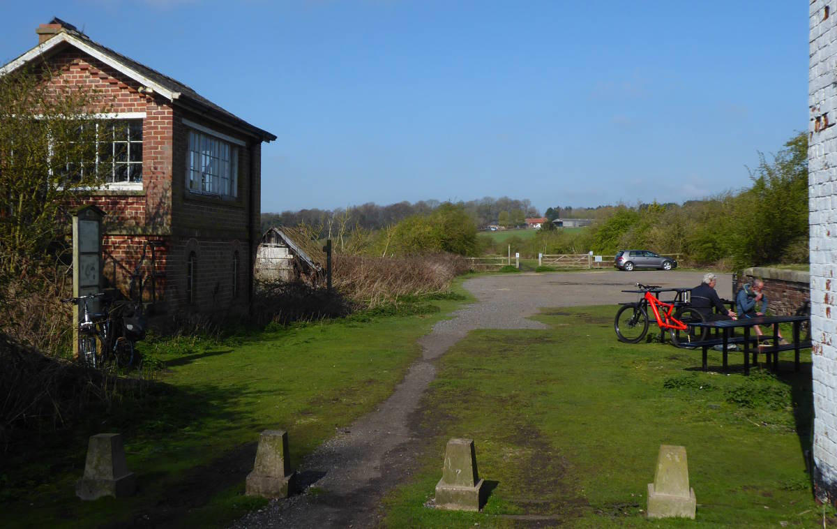
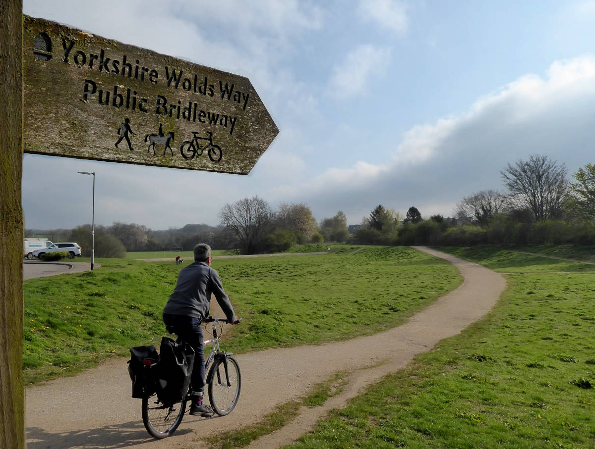
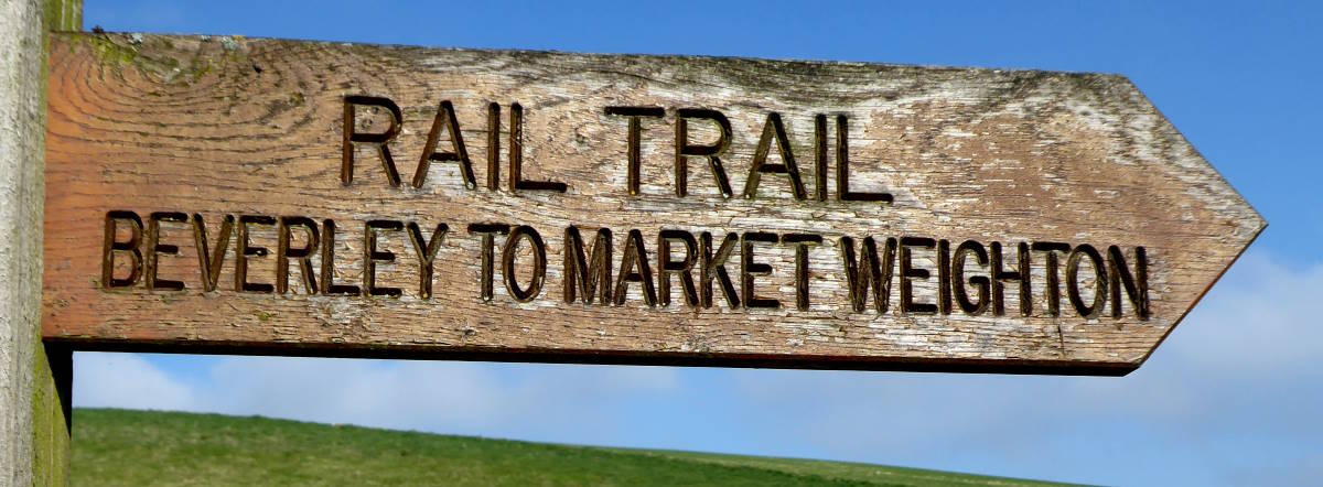
From Market Weighton the old line is all cyclable to the outskirts of Beverley, and that’s what I did. It’s unsurfaced and muddy, and despite recent dry weather, soon I was too.
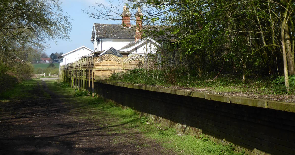
But it was a pleasant if uneventful run, with occasional glimpses of gently sloping Wolds, and eventually the sight of Beverley Minster on the horizon, the tallest thing for miles around, conveniently close to the station.
Tile Map 2/9: Beverley
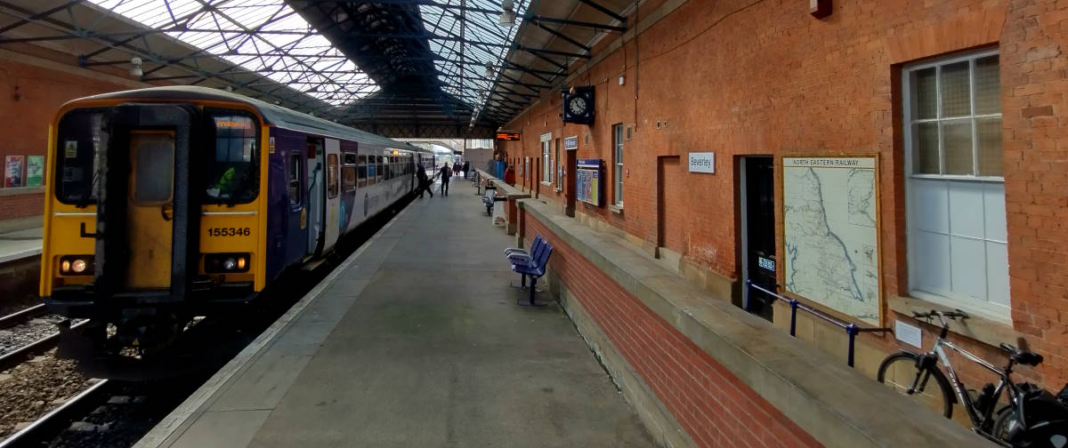
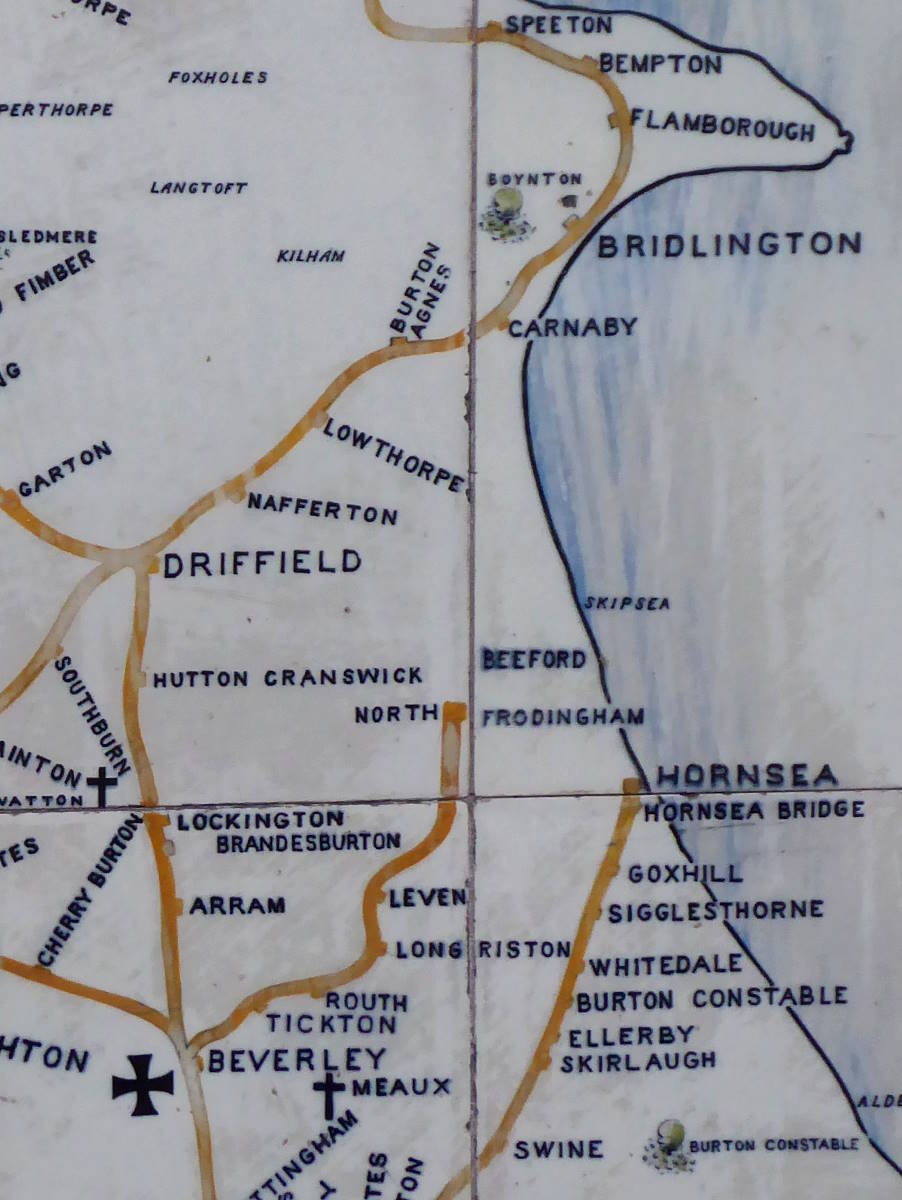
Beverley’s Tile Map accurately shows the line to Bridlington: the route survived Beeching. It also displays a mysterious ‘line to North Frodingham’, via Tickton, Routh, Long Riston and Leven.
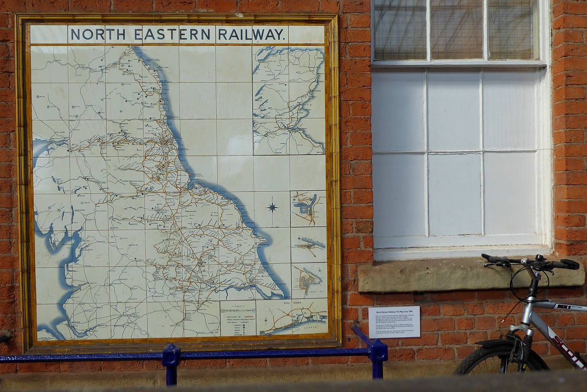
Mysterious, because it never existed. All 25 Tile Maps show it, but it was only a proposal – for a light railway – that was never built. At least it meant Beeching was never able to close it down.
Must have been frustrating for you, Doc.

My train rumbled out of Beverley and sauntered across the woldy fields north to Bridlington.
Tile Map 3/9: Bridlington
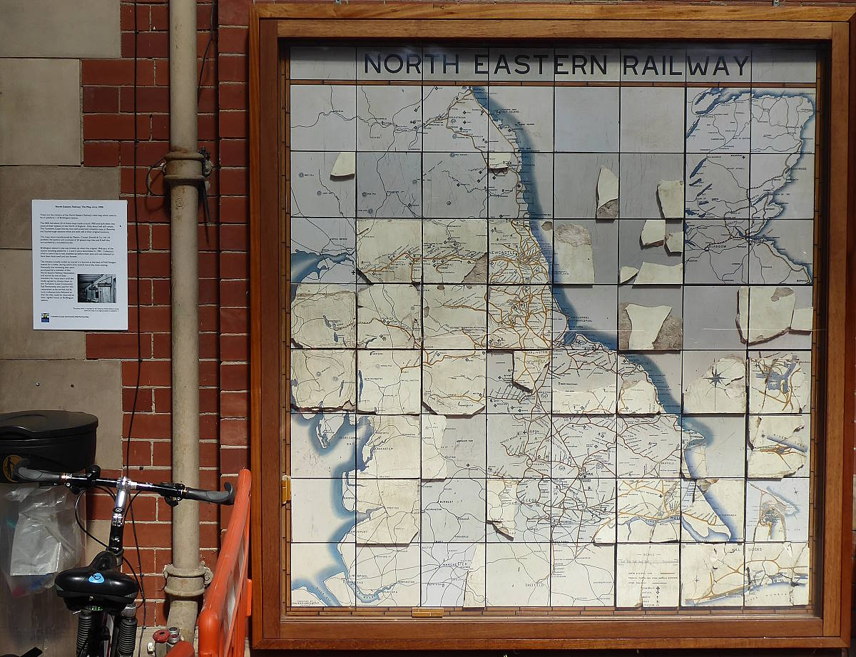
Brid is a bit of a time capsule – the inter-war-period high street was used as the backdrop for a recent Dad’s Army film with few backdating features needed – and there’s something enjoyably old-fashioned about its bucket-and-spade seafront. I always genuinely enjoy coming to Brid. Perhaps that’s because I can escape it fairly quickly.
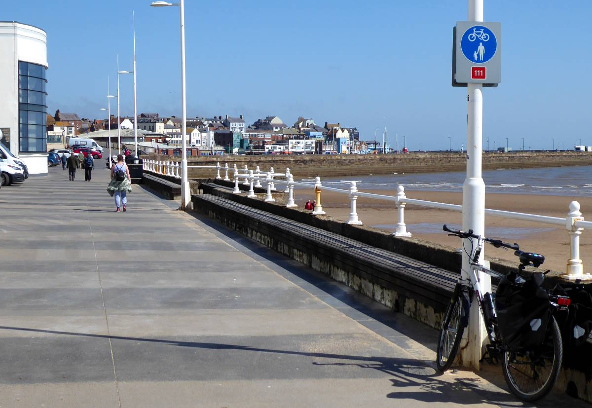
Anyway, the Tile Map at Bridlington is a unique hybrid: part original, part replica. The replica is the basis, but with a few full or broken tiles on top. It’s the result of vandalism… but not by vandals. The station was significantly altered in 1987, and the Tile Map was broken up by the builders in front of collectors who had pleaded to save it.
The remains were thought lost, but turned up in a shed at Hull Paragon Station. Local groups raised money to restore it, combining the original surviving fragments with the full replica to make a genuine and unique piece of art. The Turner Prize has been awarded to less.
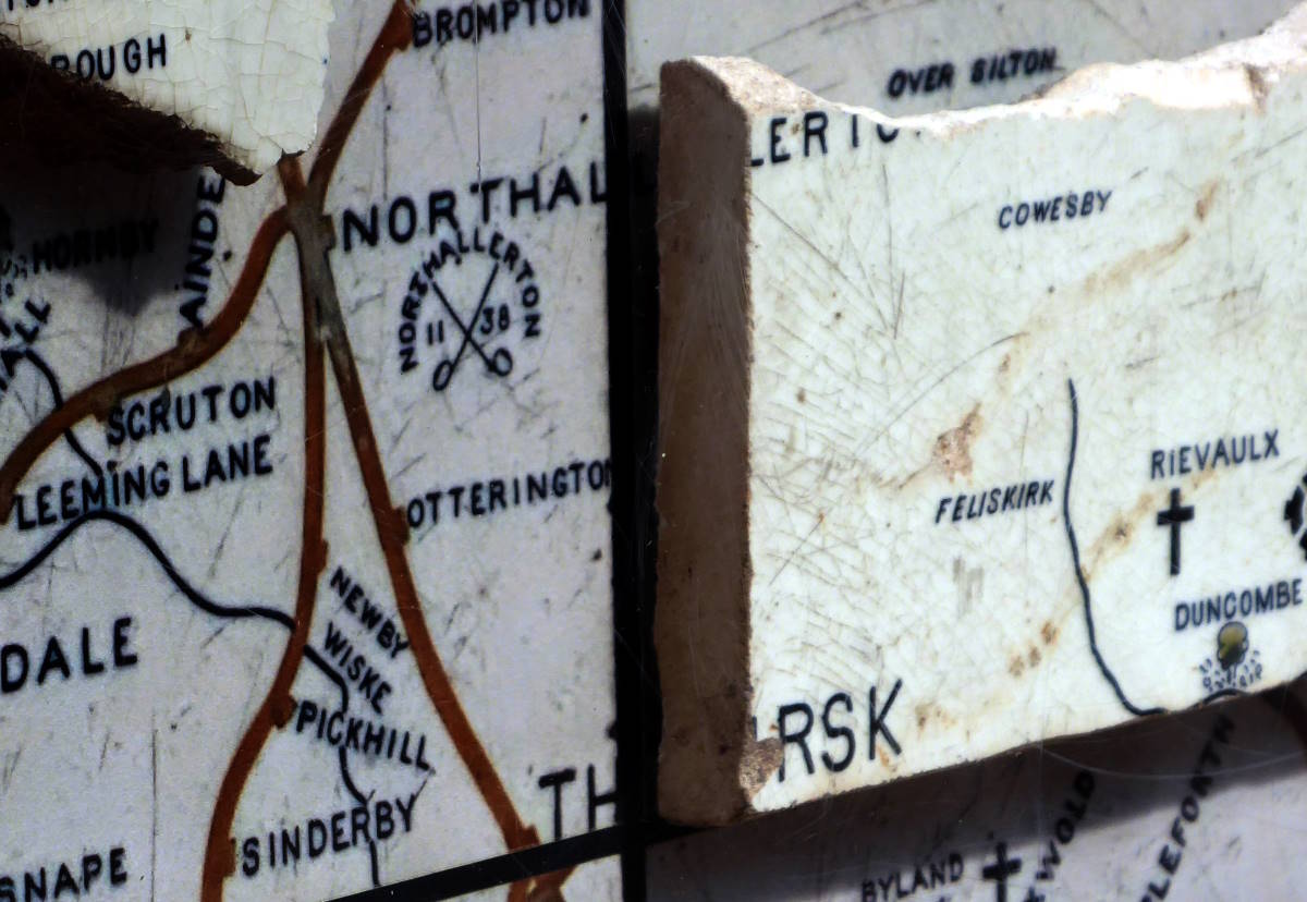
You can vividly see that the tiles are not biscuit-thin, like bathroom ceramics, but at least half an inch thick, chunky, like cake. With this in mind I celebrated this unexpectedly multi-layered installation with a sausage roll and cream doughnut in the sunshine at Coopland’s bakery round the corner, and hopped back on the train on the line up to Hunmanby.
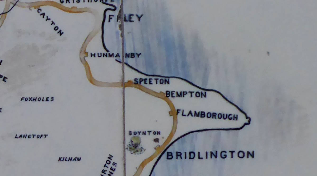
Tile Map 4/9: Hunmanby
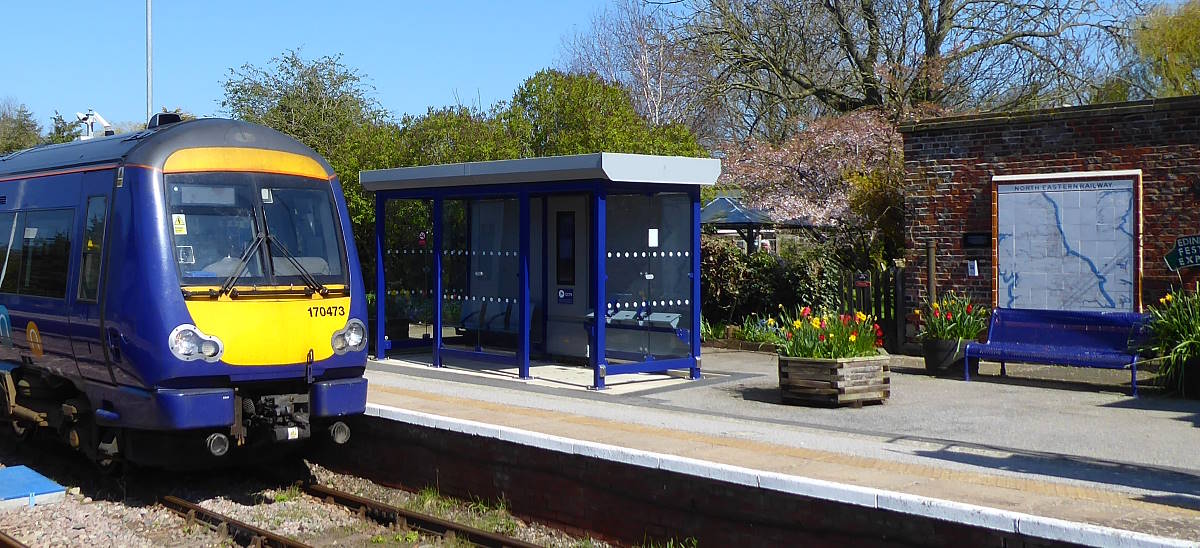
The Tile Map at this well-kept little station is a replica, but one of the most attractive of the set, being open-air and surrounded by tubs of flowers. Put up in 2021, this was the first new Tile Map made for over a century. It was financed by an anonymous donor and made by Craven Dunhill of Ironbridge, the same company that created the originals, at cost price. Local builders Edmond & Son put it up at no charge. It’s beautifully bright and new, but the old ones are in excellent shape too.
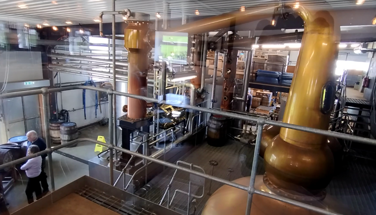
I had the best part of an hour to wait until the next train on, so I nipped up the road to the Spirit of Yorkshire Distillery – producer of Yorkshire’s national whisky, and climax of my Yorkshire Whisky Trail – for a quick pint of Against the Grain, a splendidly citrussy, refreshing crisp bitter made by their associated brewery, Wold Top.
It’s very satisfying to cycle through these barley fields and know that what you see gets turned into beer and whisky.
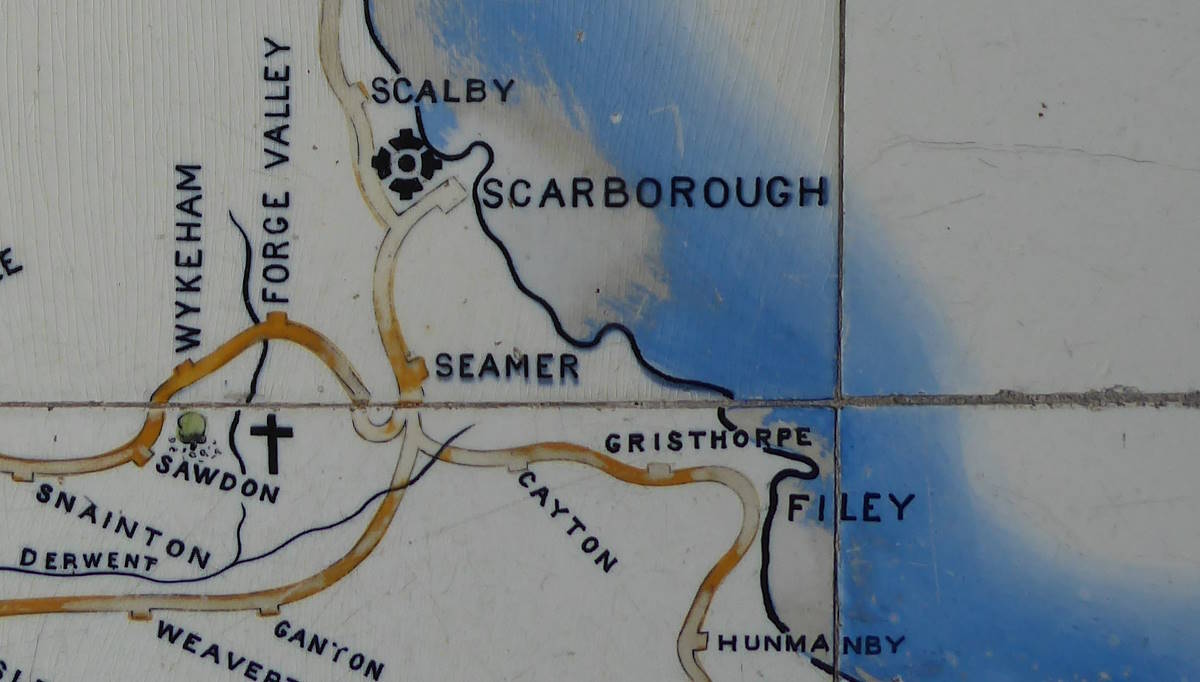
Suitably refreshed, I got back on the train for the last leg of the day, up to Scarborough, where I would continue the journey next morning starting at a very, very long bench…
