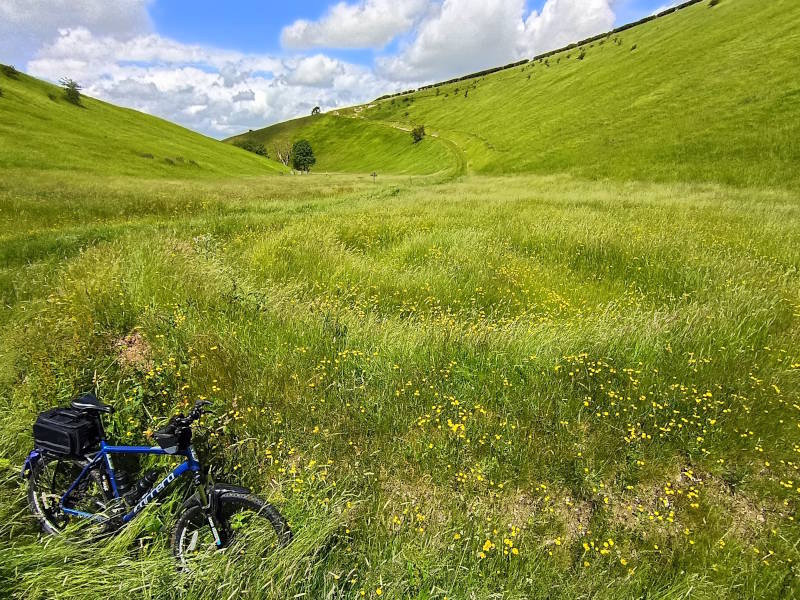
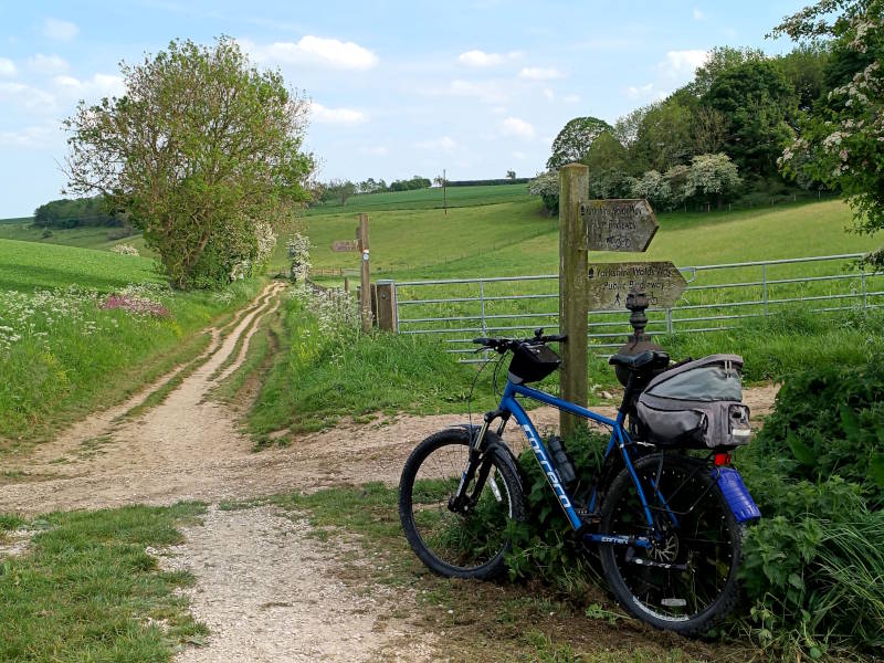
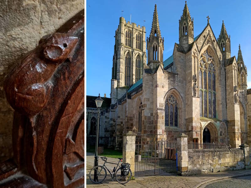
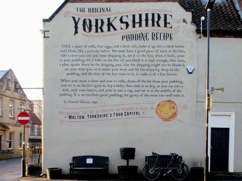
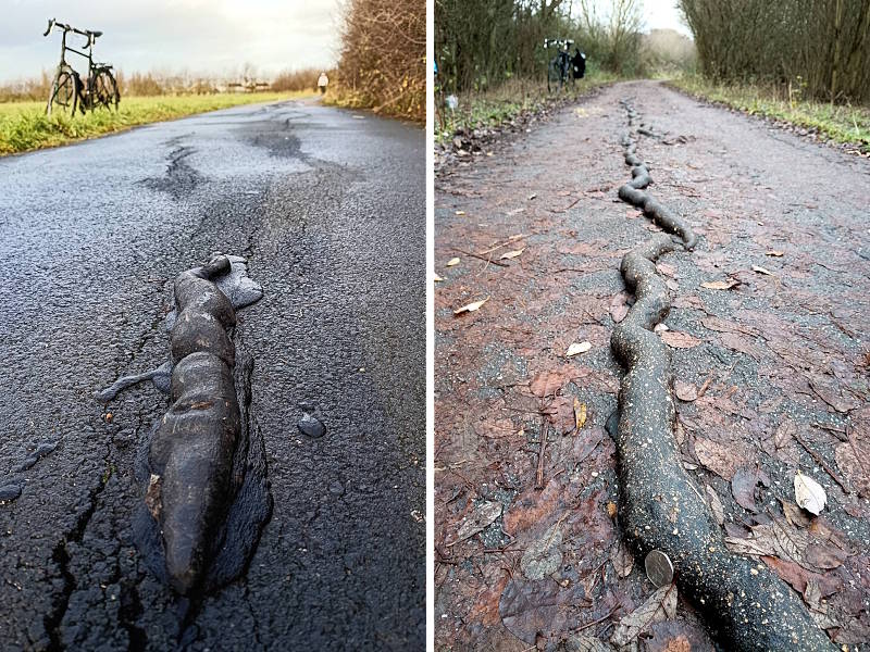
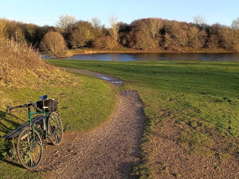
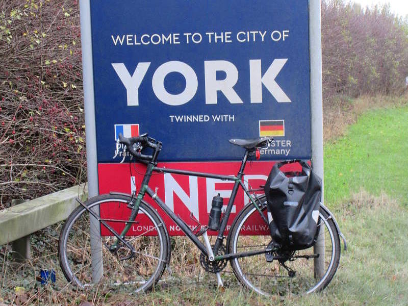
Among England and Wales’s 53 ‘thankful villages’ – ones whose soldiers all survived WWI – Norton-le-Clay and Cundall, east of Ripon in North Yorkshire, are the closest together: neighbours, in fact, only a couple of kilometres of farmland lane apart. Today was baking hot and I wasn’t up for a long ride, so a bus-assisted…
Category: Yorkshire Ridings
Thankful Yorks 2: Catwick
My rides to all five of Yorkshire’s ‘Thankful Villages’ – whose sons emerged unscathed from WWI – continued this summer day with a ride from Hull to Catwick. (See map below). The small East Yorkshire village is that rarity, ‘doubly thankful’: one of only 14 in England and Wales that also came through WWII without…
Wold Newton: Losing the Gypsey Race
The poetically named Gypsey Race is East Yorkshire’s most enigmatic watercourse. One that only works part-time, like me, and keeps disappearing unpredictably, also like me. It’s a winterbourne; it’s a chalk stream; and it’s a predictor of disaster. It’s part of the mystery behind the Wold Newton Triangle, Yorkshire’s equivalent of the one in Bermuda….
Thankful Yorks 1: Helperthorpe
The Great War of 1914–18 resulted in the loss of almost 900,000 of Britain’s men. Every city, town and village suffered casualties. Well, not quite every village. Historians reckon 53 settlements in England (none in Scotland or Ireland, as it happens) saw all their men return. Of these ‘thankful villages’, as they’ve been dubbed, five…
North Ferriby: Don’t stop the boats
A quick visit today to the village I grew up in, North Ferriby just outside Hull, to see what has put it on the map: the Ferriby Boats. We have a few claims to fame for a place of under 4,000 folk: Mariinsky dancer Xander Parish, weather presenter Alex Deakin, and anti-slavery campaigner William Wilberforce….
Ousefleet: Britain’s emptiest experience
Fans of Ordnance Survey maps – particularly the 204 of the classic Landranger series that cover Britain – spend hours looking for oddities. Two neighbouring, separate villages, both called ‘Great Totham’ in Essex, for instance (map 178). Or a strange dry ‘aerial river’ snaking from Littleport to Shippea Hill in Cambridgeshire (map 143). Or the…
Whitgift: Thirteen to the dozen
If Yorkshire was a clock face, the area roughly at half past four – the string of villages on the south bank of the Ouse – is one of its most obscure corners. And it’s a strange clock that I’m here to see. When I grew up, in North Ferriby just downstream outside Hull, I’d…
Yorks’ longest street and shortest: Beverley Rd to Whip-ma-whop-ma-gate
Whip-ma-whop-ma-gate, in York, is always cited as Yorkshire’s shortest street. What about the longest? Google’s AI suggested Beverley Road, in Hull. So obviously I didn’t believe it. AI-generated information about cycling tends to be a load of cobblers. More cobblers than a shoemakers’ convention in Northampton eating desserts with fruit filling and biscuit topping. But…
Everthorpe: Benchmark for Britain’s maps
The East Riding hamlet of Everthorpe has a claim to fame. And no, it’s not HMP Humber, the Category C prison nearby. Everthorpe’s USP is an OS FBM: an Ordnance Survey Fundamental Bench Mark. Most of us are familiar with OS trig points – summit concrete pillars once used for surveying heights and positions pre-GPS….
Sheffield: Dutch courage
I rode both of Britain’s so-called ‘Dutch Roundabouts’ last week: the one in Sheffield that opened in Dec 2024, and the one in Cambridge that opened in summer 2020. Many cycle-infra buffs reckon Britain’s ‘Dutch’ roundabouts are about as Dutch as a ski resort, and don’t closely resemble the various layouts that bike-friendly gyratories have…