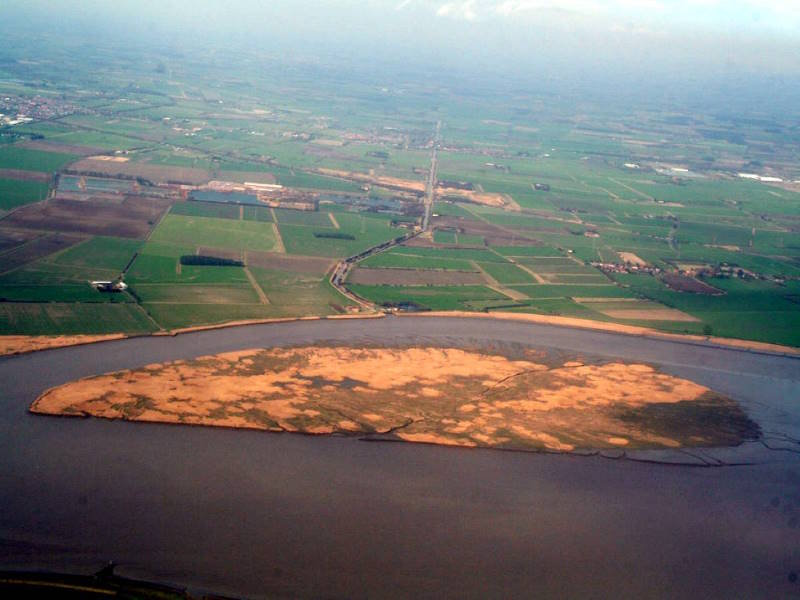
In the early 1960s, a volcanic eruption off the Icelandic coast created a new island: Surtsey, which is still there today. Well, anything other countries can do, Yorkshire can do too. Just a bit flatter, especially the vowels.
Until the 21st century, Yorkshire had no islands to speak of. And you know what Yorkshire folk are like. If we’d had some, we’d have spoken of them. Probably banging on about how beautiful and unspoilt they were etc.

But then, after about 2003, grasses and reeds took hold of a sandbank in the Humber estuary: a brown, shifty, mile-long blob in the austere, dun-coloured estuarine wastes between Goole and Hull – not, most would agree, a promising setting for an insular paradise for jetsetting holidaymakers. Yet, indeed, Whitton Sands became Whitton Island.
The low, grassy territory is now established, and recognised as land on OS maps. It’s the home of avocet, pink-footed geese, teal, wigeon, dunlin, spoonbills, curlew, turnstone and ringed plover.
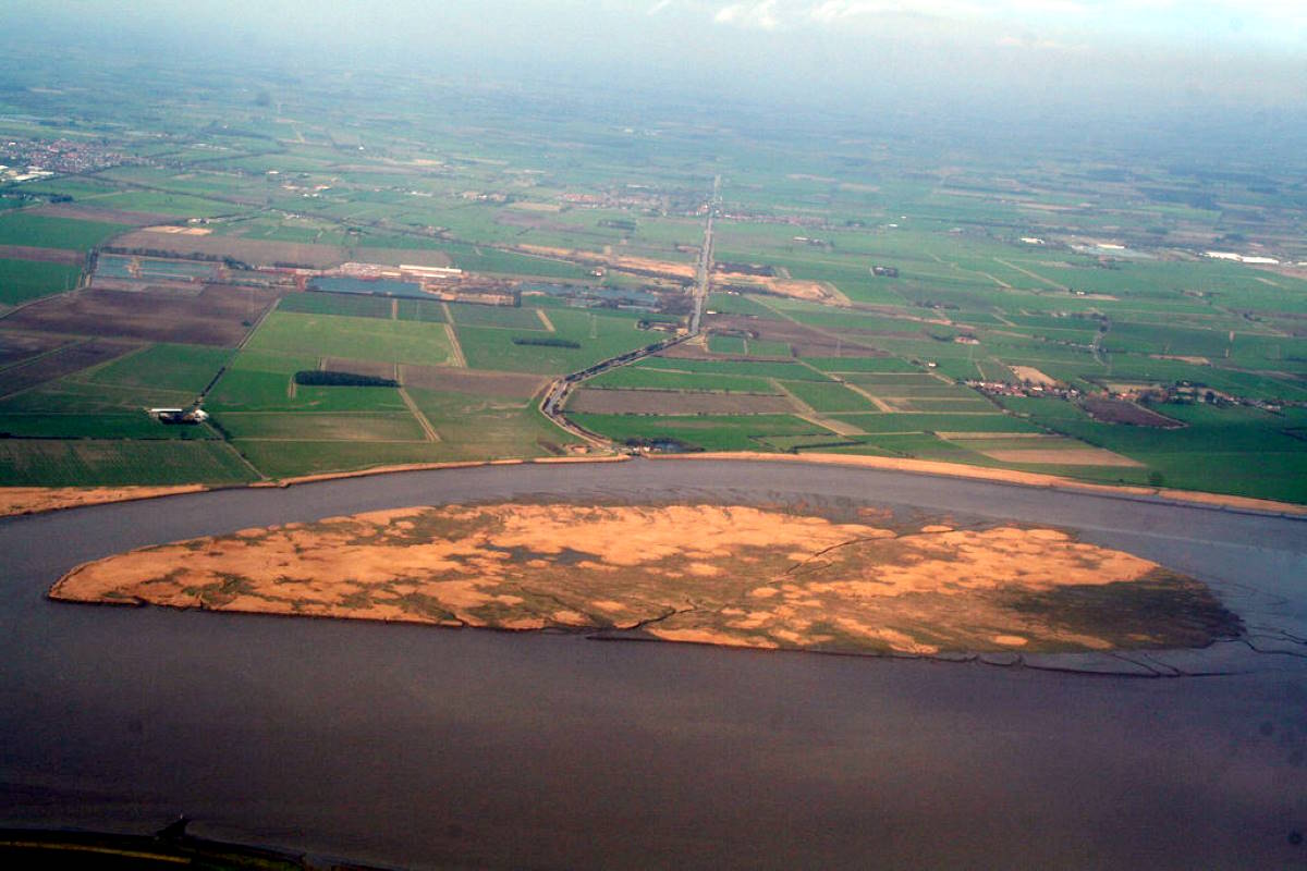
(Photo credit: By Chris, CC BY-SA 2.0, https://commons.wikimedia.org/w/index.php?curid=72634178)
Not people, though. The RSPB leases it from Associated British Ports (which owns the estuary), and maintains it as a genuinely unspoilt natural haven. There’s no public access – though getting there would be tricky anyway, even with an inflatable canoe like I have. The swirly currents where the Trent and Ouse tussle would be one major challenge, the treacherous sandbanks another. And there’s no bike parking when you get there.
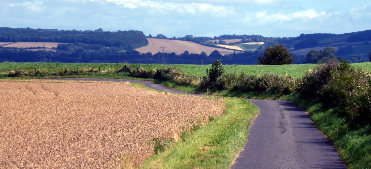
Whitton Island is an elusive thing to see. The closest you can get is, at least, ideally done by bike: the Trans Pennine Trail (TPT) section along the north shore of the Humber, between Blacktoft and Broomfleet, takes you right past it. Stop at the lock gates where the Market Weighton canal meets the estuary and you can see the island’s low extent, though not easy to distinguish from the treed and hedged slopes of Lincolnshire behind, across the water.
I rode it today, anyway, in breezy, uplifting sun. The TPT from Selby to the tidal barrage at Barmby is a bit rubbish, a third-rate hodgepodge of lanes, paths and earthen trails. After that, tarmac roads through Asselby and Knedlington take you through Howden (worth a stopoff) and down to the waterside at Yokefleet. From there it’s airy, open riding alongside the estuary, on untrafficked lanes and along good gravel tracks, through Blacktoft and Faxfleet and Broomfleet and Ellerker, and thence to Ferriby, my boyhood home.
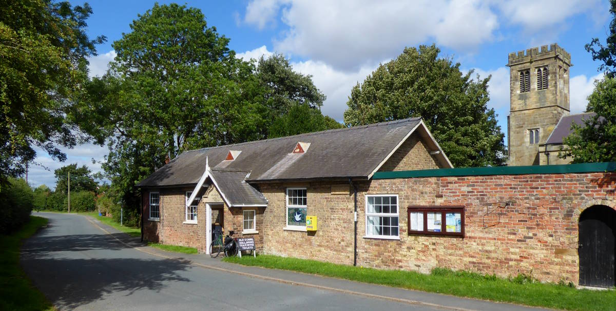
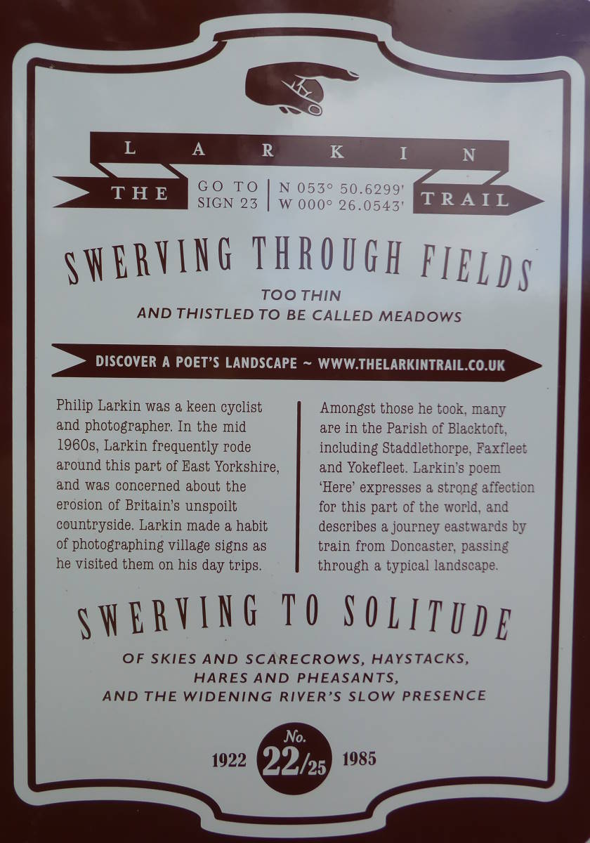
It’s all flat, remote, quiet land. Fenland, indeed, its marshy widths barely poking above sea level. No wonder Hull poet Philip Larkin liked cycling round here in the 1960s. His evocations of the area are celebrated in a Larkin Trail, one plaque of which adorns the old school hall in Blacktoft, next to the church.
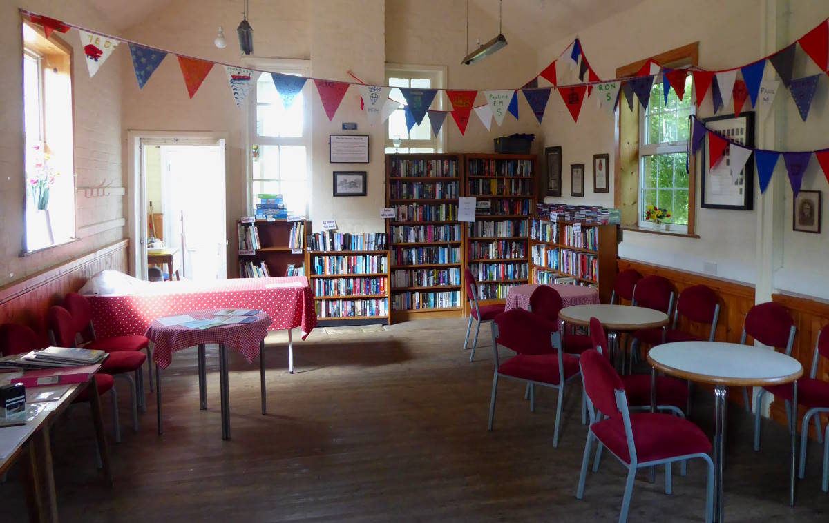
The hall is a great little place to stop. It’s left open, unstaffed but maintained by local volunteers. There’s help-yourself tea and coffee by donation, and a second-hand book stall. You can dodge the rain, shade from the sun, or just have an indoor break in the hall, whose wooden floor gives it, literally, a lovely old-school fragrance.
Whitton Island isn’t Yorkshire’s newest island. That’s the job of Spurn, a couple of dozen miles east down the Humber, where it confronts the North Sea. I’ve cycled it several times.
Spurn is Yorkshire’s other of two islands, both created in the 21st century. The four-mile-long spit was breached by a storm surge in 2013, splitting it temporarily from the mainland, and at every high tide continues its gradual transition into an island.
Wikipedia’s list of new islands restricts itself to big, rocky, volcanic newcomers. No mention of sandy, marshy little arrivistes such as Whitton. But I’m quietly pleased to know that Yorkshire, in its own way, can create new lands too.
Surtsey? Hah! Who needs Iceland when you can get on your bike and ride to Blacktoft?
