Today I drew a line in the sand for my journey. Metaphorically. And also literally. Because the line was in the sand of the railtrail west from Jaunpiebalga, and it was about two inches deep.
It had looked a promising cycle route on Openstreetmap, marked enigmatically ‘MG’, following the old rail line out to Gulbene. I joined it immediately south of my rural cottage room outside Jaunpiebalga. And immediately wished I hadn’t.
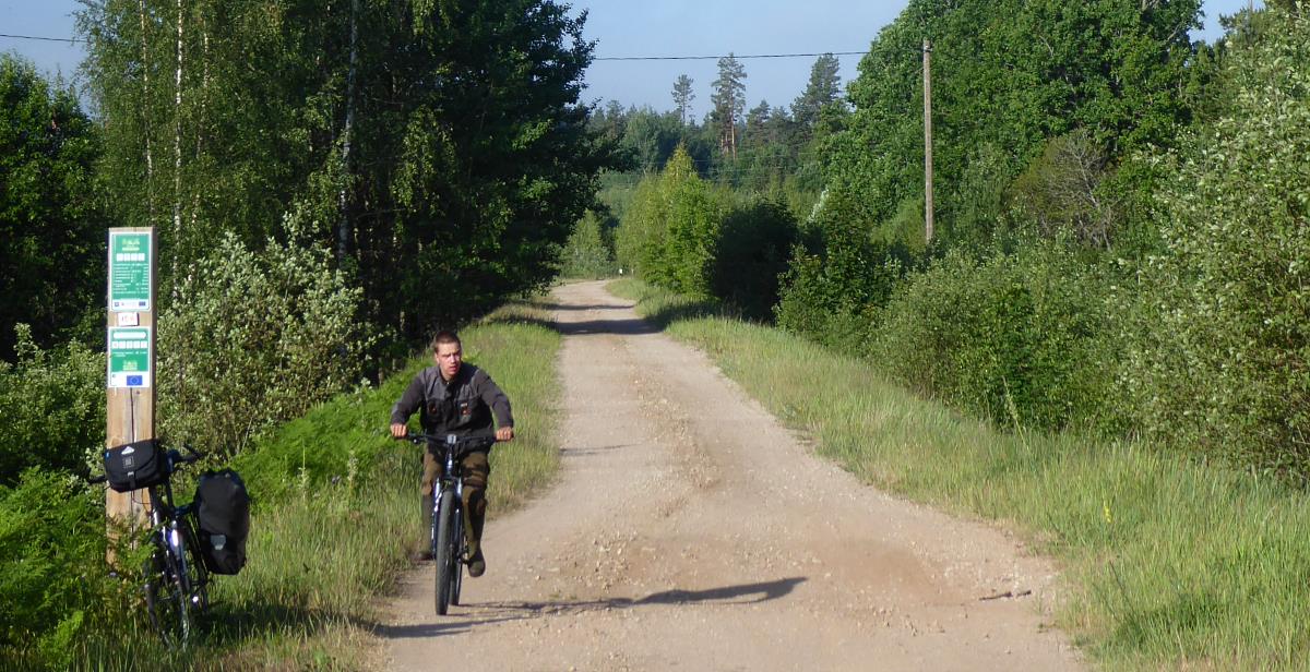
Sure, it was flat and car-free. But so are most roads and tracks in Latvia. But it was also no fun to cycle: as rough as the blokes in my local Sainsbury who buy cider and scratchcards, as gravelly as Tom Waits after a night on the Jack Daniel’s, and sandy enough to make a decent model of Rīga Castle.
In places it was as corrugated as a corrugated iron roof, too: somebody had evidently driven along it from Gulbene to Cēsis in a tractor.
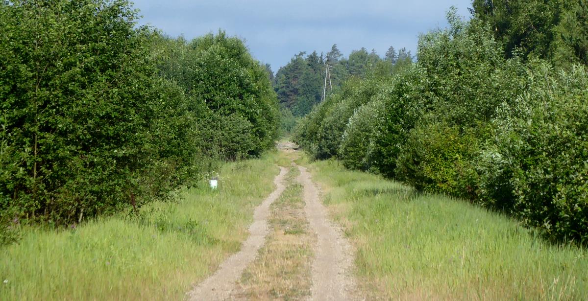
I couldn’t admire the scenery – not that it would have been any different from regular Latvian road scenery, ie trees – because I had to concentrate on my front wheel all the time. I’d thought ‘What’s my line’ was a 1950s TV panel game, not a cycling manifesto.
Every few seconds my wheels ground to a halt in a haphazard dune, and I had to dismount and push before finding somewhere firm enough to remount.
LATVIA FACTS 3
The highest point in Latvia is the Gaising or Gaiziņkalns (German: Mesenberg) at 312m / 1,024 ft above sea level, in the east of the country not far from the town of Madona.
After two miles I’d had enough, and drew my metaphorical line in the sand too. I decided to take the longer ‘main road’ route on tarmac via Vecpiebalaga, to the south. It was two sides of a triangle and added ten miles or so to the journey, including a sprawling five-mile roadworks, but was much preferable.
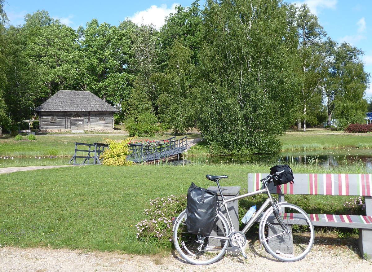
As usual, this ‘main road’ had virtually no traffic, and was very pleasant cycling, rolling gently up and down through green farmland.
I breakfasted on supermarket pastries by the lake at Vecpiebalga, thus collecting my set of Piebalgas. (In Latvian, ‘vec’ means ‘old’, and ‘jaun’ means ‘new’)

Now I was heading nor’-nor’-west, with a genial tailwind, very light traffic, gentle slopes, and crucially, tarmac as smooth and welcoming as Terry Wogan’s Radio 2 voice.
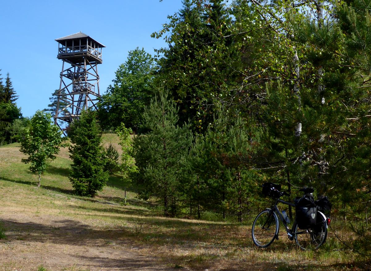
So slopey, in fact, that I reached one of the highest points in Latvia before I knew it: the 255m topping of Brežģa.
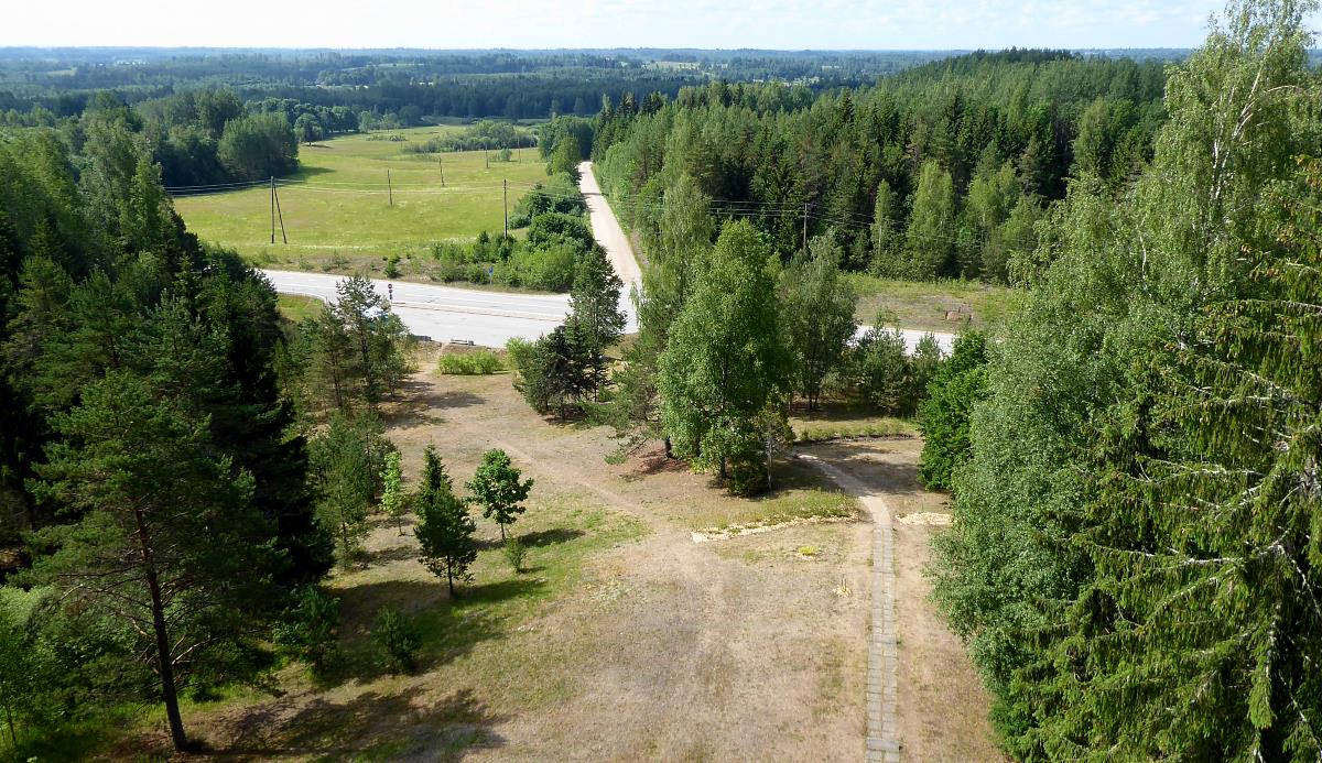
As summits go Brežģa is definitely in the Danish, rather than Austrian, league. However, it has a fine wooden watchtower on the top that you can climb, for a very unusual view in Latvian terms: a downwards one.
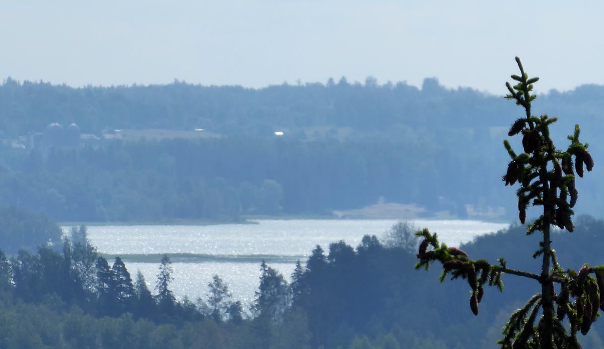
Having panoramised, and briefly been perhaps the country’s highest picnicker, I could enjoy a gently oscillating downwards trend towards Cēsis.
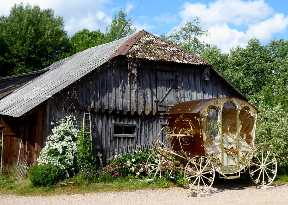
At Taurenē, which I’d thought was an ingredient of Red Bull, I was startled to see a fancy fairytale-styled carriage parked outside a house. Maybe Cinderella uses Uber these days.
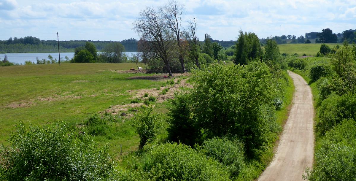
A bit further on I saw where the railtrail I’d avoided joined, and was not unhappy with my decision to stick the road. I crossed over the A2 ‘motorway’ and ambled the last ten miles to Cēsis.
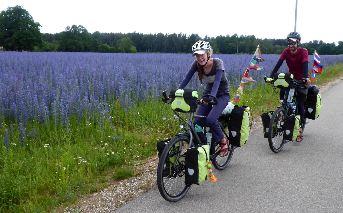
After being the only person on a bike since I started, I gradually saw a few more cyclists, even a couple of people cycle-touring, outside Cēsis.
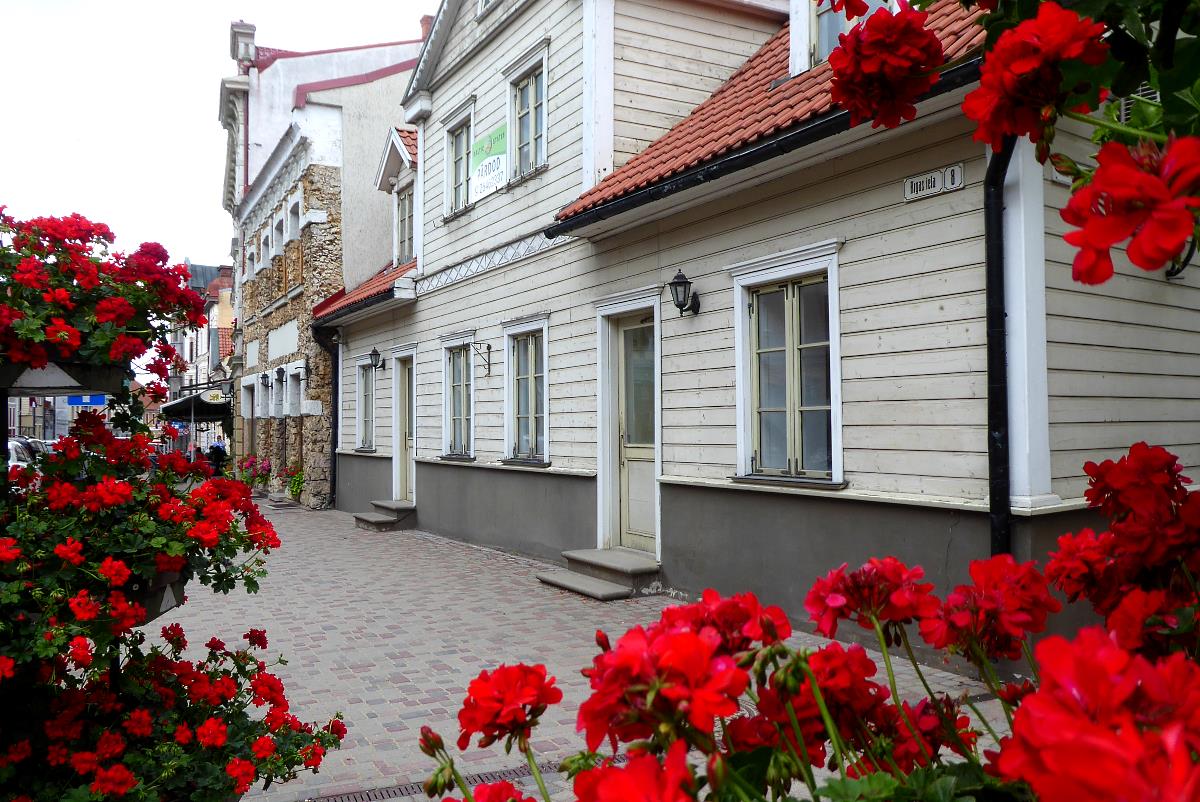
My guidebook calls it the ‘cutest town in Latvia’, which seems fair enough. I enjoyed trundling the historic centre, with its castle, cobbledy lanes, mix of old stone and wood buildings, and flower boxes. And pavement bistros in car-free squares, with local beer.
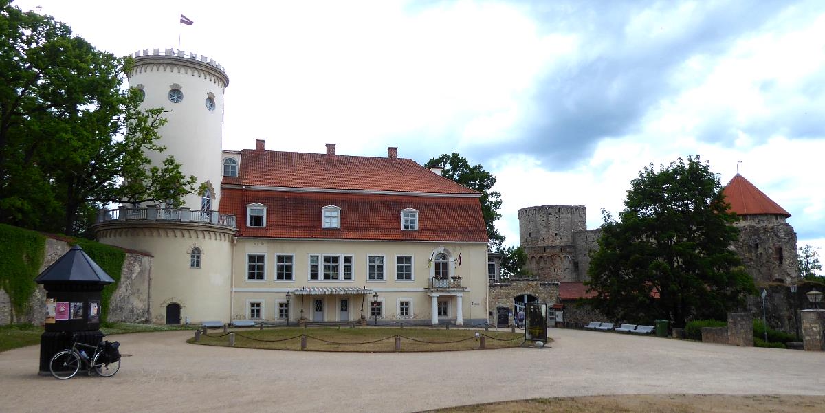
And a super-cheap canteen, well frequented by locals, in perhaps a surprising place: the upmarket-looking bistro of the Concert Hall. (€2.60 for a plate of chicken and sweet potato.)
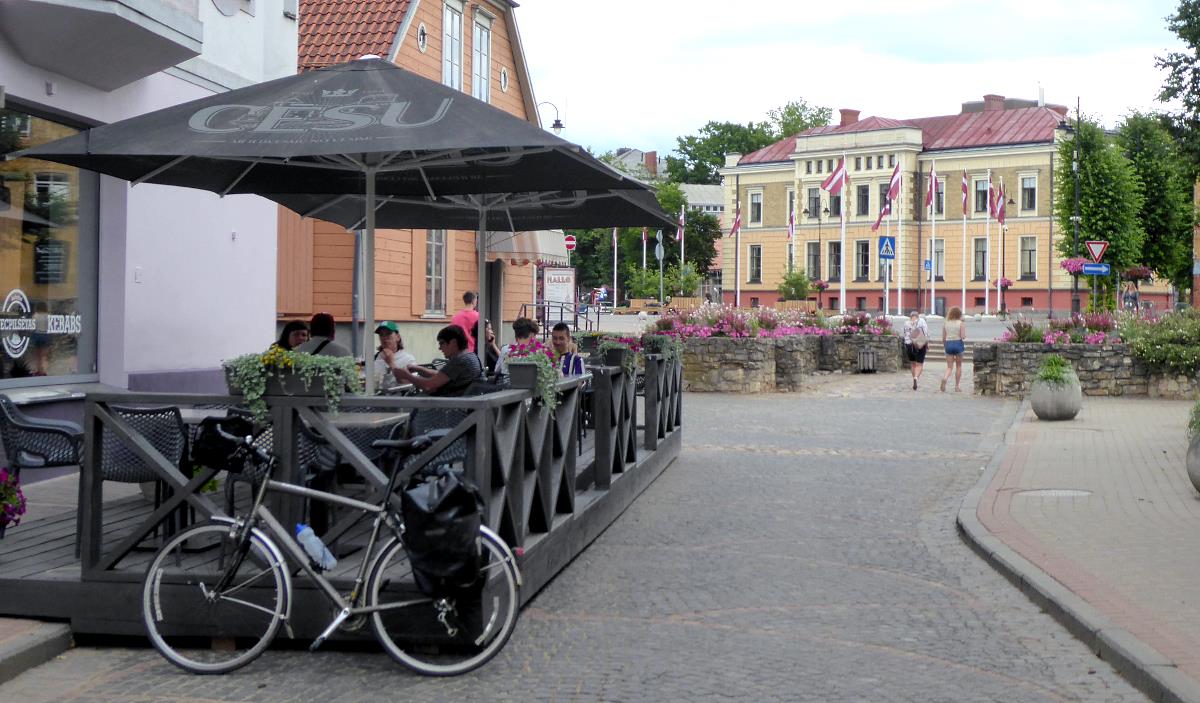
And, upliftingly, a super-nice hostel right in the centre of the Old Town.
Miles today: 44
Miles since Borderland: 110
