Having just sold a couple of magazine articles on the theme of cycling from Britain’s highest pub to lowest pub, I’m keen to mine this seam of what are, effectively, vertical end-to-end trips. I’ll be doing Yorkshire’s Highest Cyclable Point to Lowest Cyclable Point later in the year, so as a kind of étude for that, I did the same for York itself today – that is, a summit-to-trough ride for the City Council Area, which conveniently was almost all on car-free cycle paths.
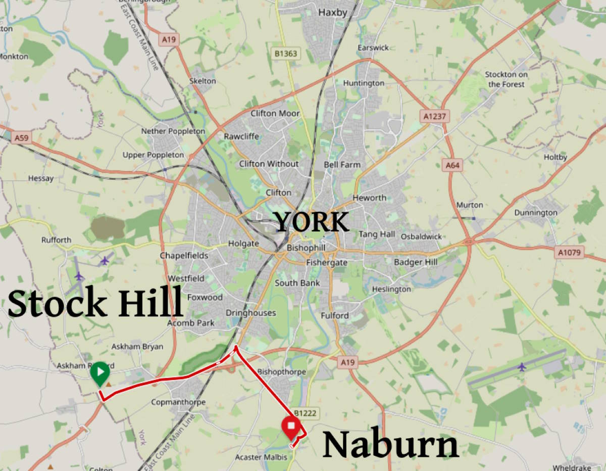
York’s highest point, I decided after long map-gazing, is Stock Hill, southwest of the centre. It’s only 43m (141 feet) above sea level, so it’s actually dwarfed by York Minster’s 73m-tall tower. (I’m reminded of Denmark. Its highest land point is the 171m top of Møllehøj, whereas the top of the country’s Tommerup transmitter mast is almost twice as lofty, at 321m.)
York’s lowest point, I reckon, is the bottom of the slipway at Naburn village: the most downstream of the River Ouse’s public entries. Obviously the height at which your socks get wet depends on the river level, but in practice you’ll be at around 8m (25 feet) above sea level there.
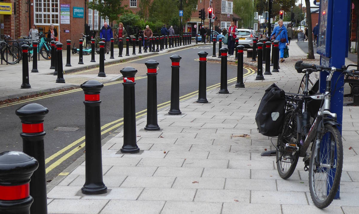
To get to Stock Hill I struck out through the centre of Acomb, on the fringes of York. The village is famous for its thicket of bollards in Front St, installed in 2023 to stop pavement parkers. It makes the shopping street look rather like a bagatelle board.
From Acomb you pass out of central York and cross the ring road to arrive at the village of Askham Bryan, home of a well-regarded Agricultural College.
–Do you know the way to Askham Bryan?
–Yes, in a supportive and non-judgemental manner, because they might have issues you’re not aware of. And don’t call me Bryan.
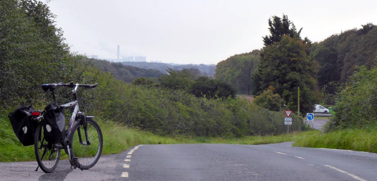
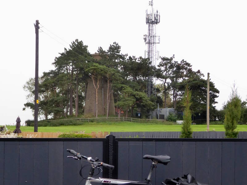
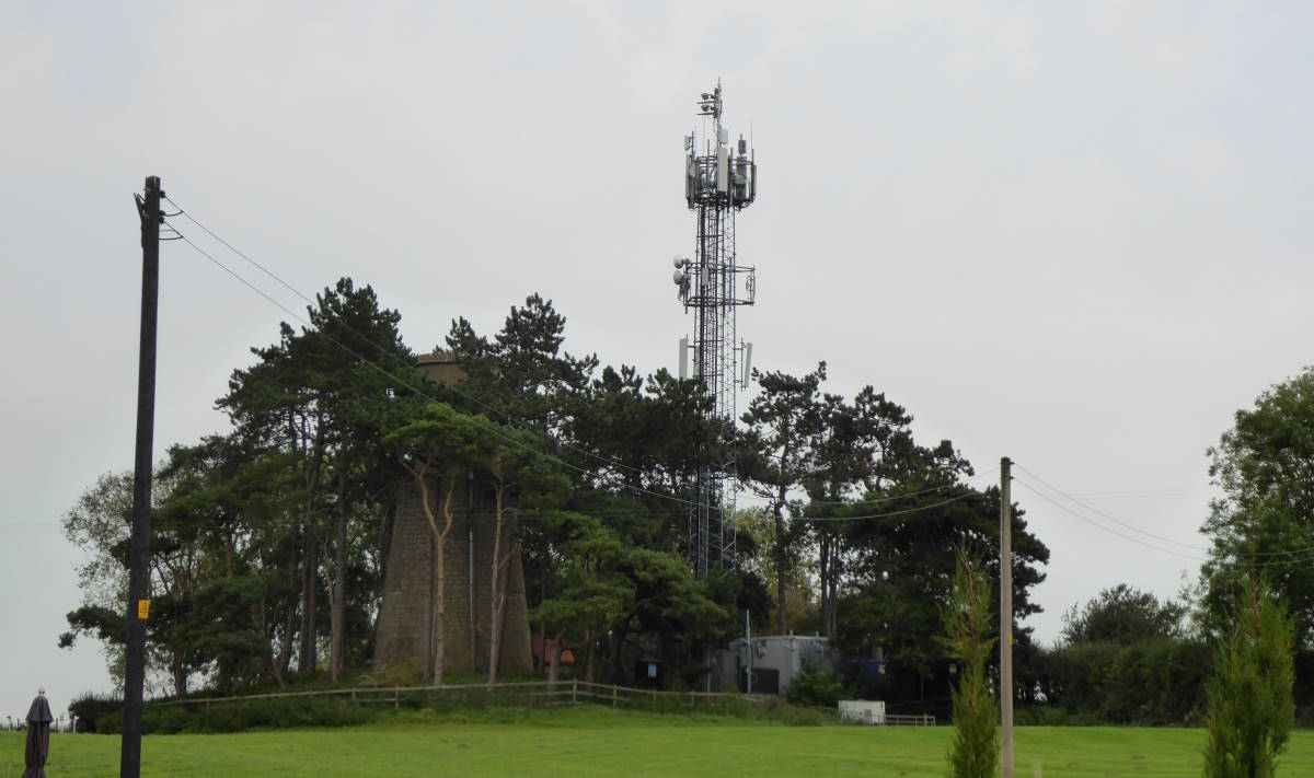
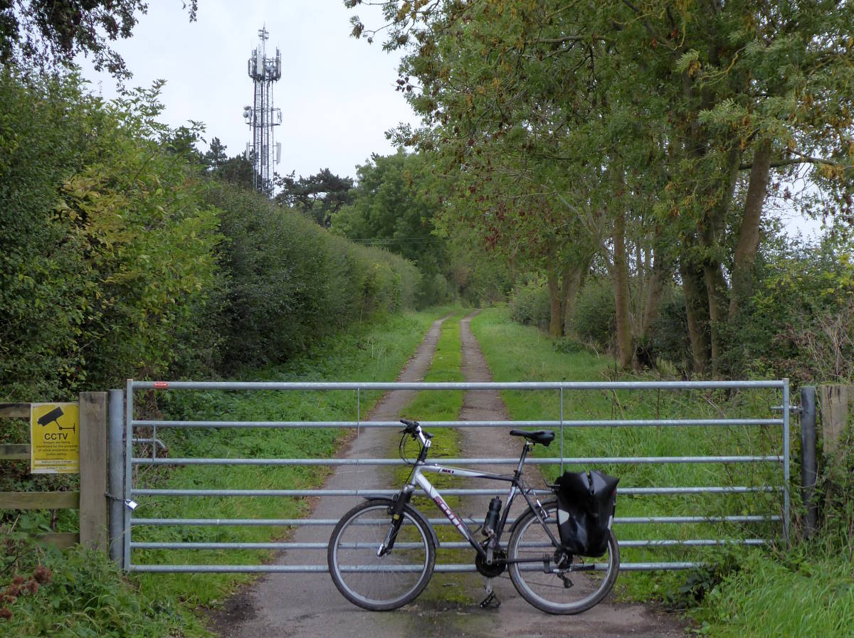
The highest point of Stock Hill, trig point and all, is located in the grounds of the College, and there’s no public access. The nearest I could get on my bike was the locked gate on the access lane to the disused windmill and neighbouring mast – that of Bilborough Transmitter, which beams local TV signals to York. Climb up it, illicitly, and you’d be the highest thing in the city apart from the Chinese TikTokkers in York Minster’s tower.
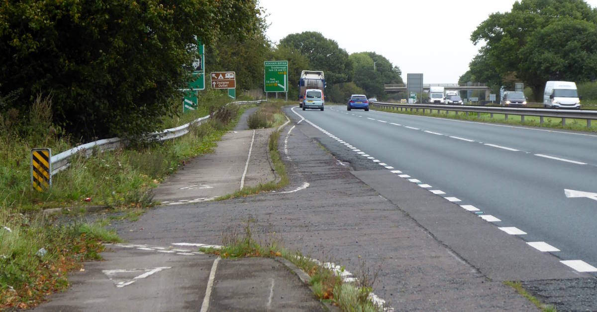
From Stock Hill it’s downhill all the way, obviously, along the scruffy but just-about-OK cycle path parallel to the A64. After Askham Bog – which, sadly, does not permit bikes (even if pushed) on its boardwalk traverses of the wildlife-rich marshes – you go through the Park and Ride.
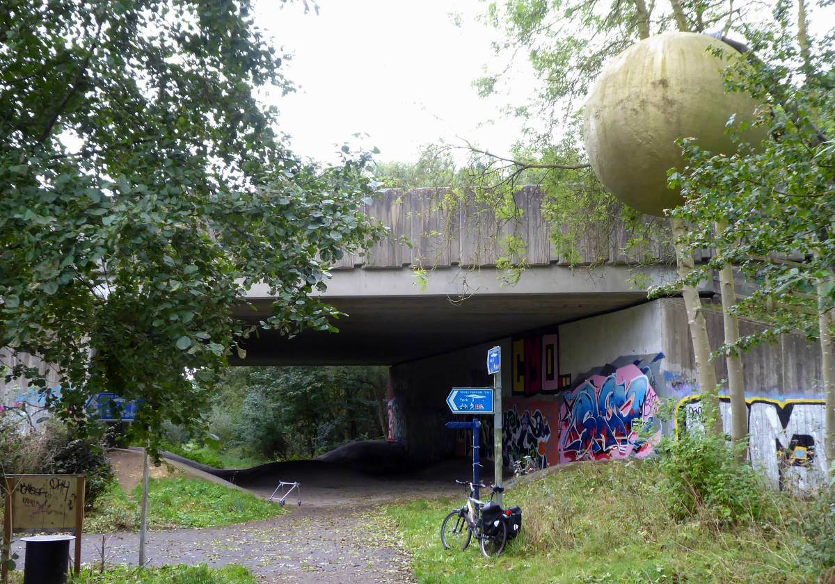
Then it’s on to an access path that leads to the Planets Trail and its mighty scale model of the solar system, beginning with a Sun the size of a septic tank, because that’s what the model is. (Canny cost-cutters, the academics who built the Trail.)
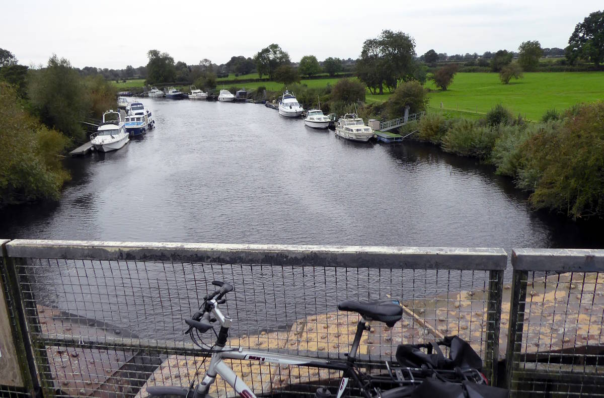
After Jupiter, and a model of local lass Dame Judi Dench, the path crosses the Ouse and passes Saturn. The ringed planet has no thespian monuments, but it does have a model of the Cassini space probe nearby.
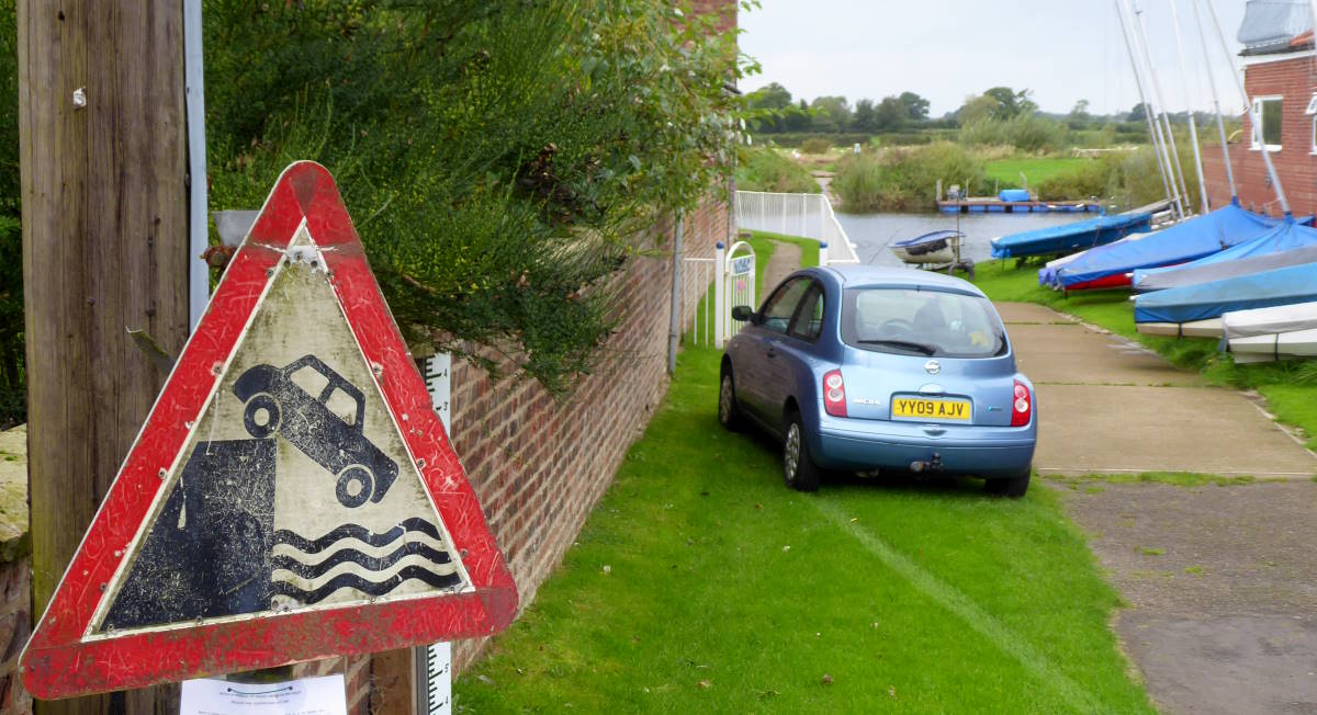
Naburn is a short hop to the right, and the slipway down to the river’s edge is in the centre just beyond the village pub, the Blacksmiths. In the past I’ve paddled my inflatable canoe here – with folding bike inside it, so I can ride back home with deflated boat on the back of my reconstructed bike – and enjoyed a pint while waiting for the craft to dry out in the sun.
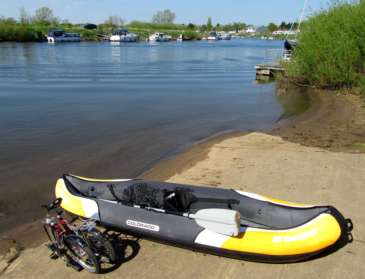
No sunshine paddling for me today, though, and no pint either: it was me who was drying out.
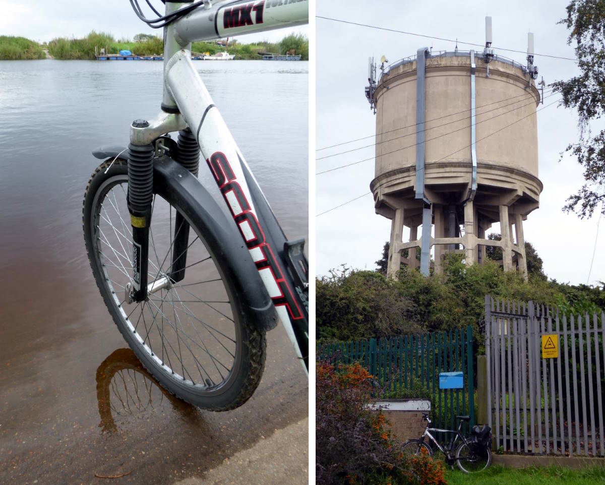
(Right) High point: Water tower at Severus Hill, the highest point in central York
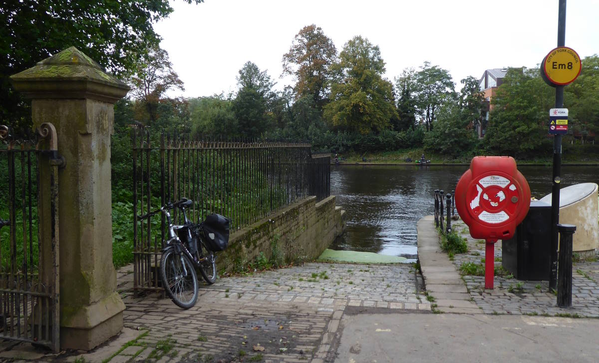
And if you’re wondering about the highest and lowest points in York city centre, well, the highest is probably the water tower on Severus Hill in Acomb (which I rode past this morning en route to Askham Bryan), and the lowest the slipway into the river just by Blue Bridge (which I rode past on my way back home).
A day of highs and lows all round, then.
