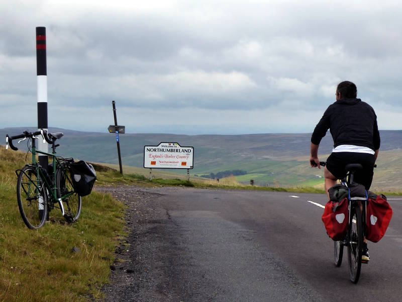
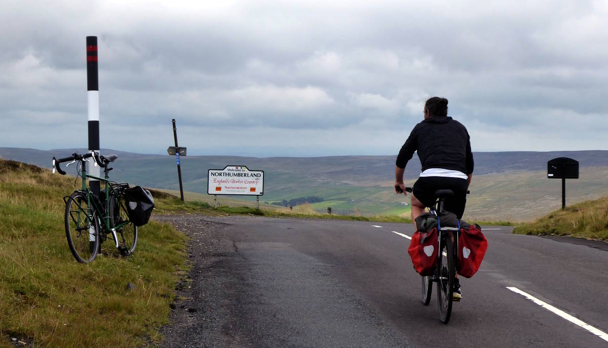
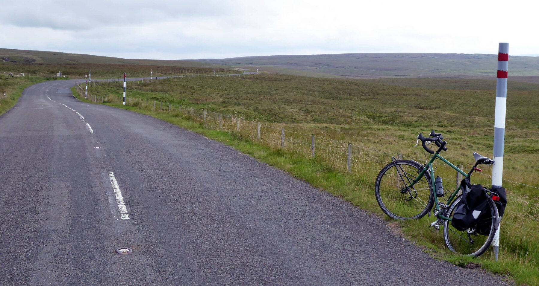
The six highest roads in England are close together in the North Pennines, south-east of Alston. Close enough to make an inviting, but strenuous, day ride. (I wrote an article on it for Cycling Plus magazine. You can read the online version of it at https://www.bikeradar.com/features/routes-and-rides/englands-six-highest-roads .)
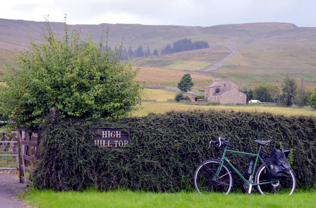
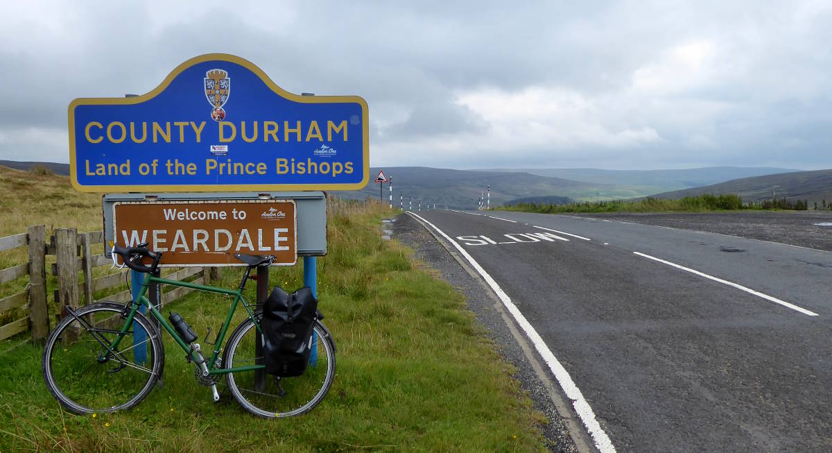
The exact summit heights are, and therefore identity of the highest is, a matter for debate. Locals with GPSs will tell you it’s the road over Chapel Fell, between St John’s Chapel and Langdon Beck. (The latter consists solely of a pub and a youth hostel, though that was all I needed for my trip here.)
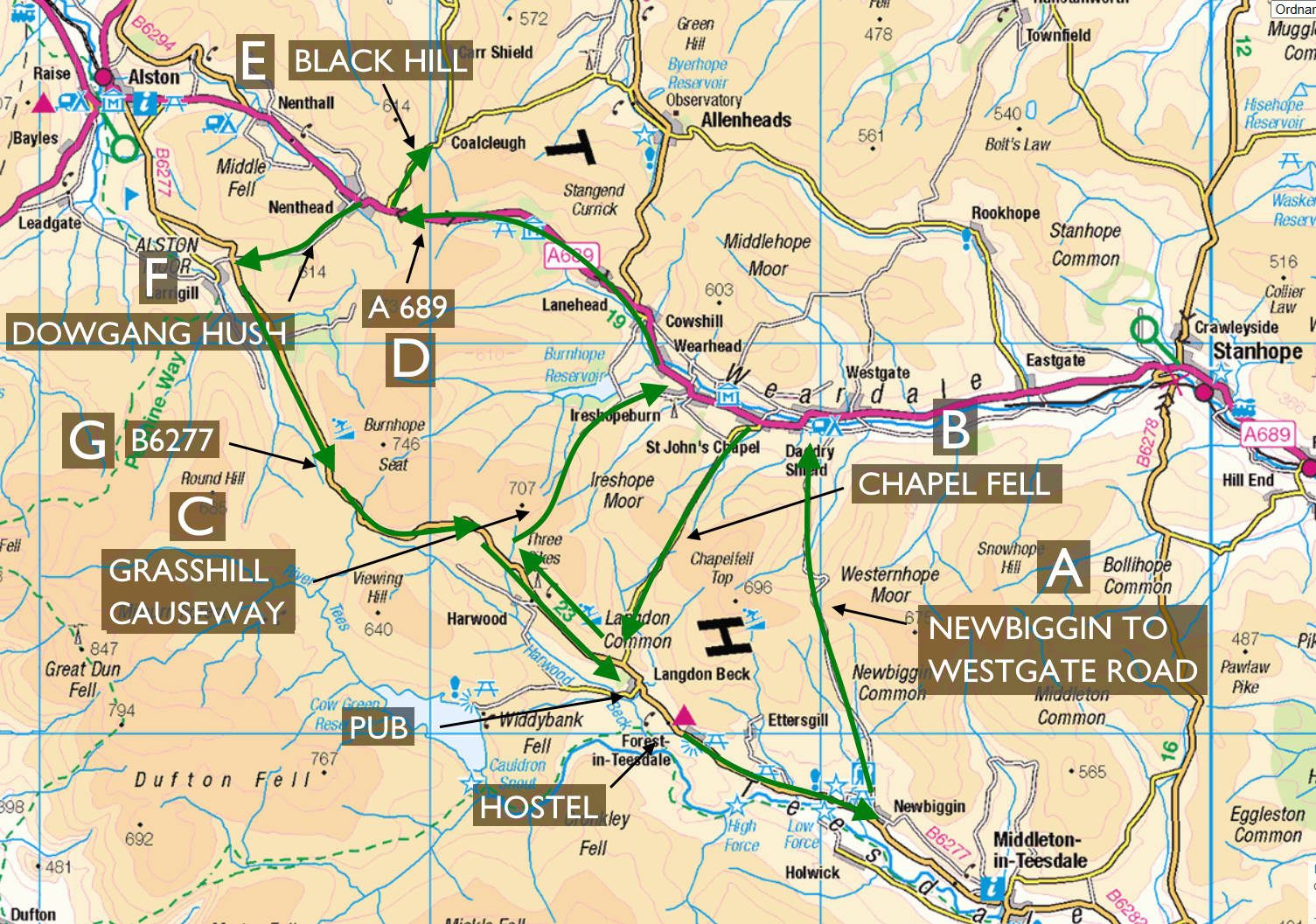
MAP: SEVEN SUMMITS
But is it? Browse the web and you find some sources make the nearby A689 the highest. Others go for Chapel Fell. Each tops out at about 620-odd metres, a long way from any sea to compare levels with.
There are various free web tools that give estimates of spot-heights (such as freemaptools.com). Temptingly easy, but only smoothed-out algorithmic guesses, and probably several metres out. Or you can try riding up the hills with your Garmin and noting the height claimed by your GPS, but these figures too will only be accurate to a few metres, and make all sorts of approximations over what counts as sea level.
So I asked the Ordnance Survey for a definitive answer. (They collaborated with my chum Mark in 2022 when he cycled all 204 OS maps.) The OS tell me that the most accurate figures come from actual fieldwork, triangulation, old-fashioned stuff like that. The sort of thing they have been doing since the 1780s.
In short, the spot-height figures on your OS maps are the ones to believe, being accurate to within a metre; some, within ten centimetres.
So, the OS kindly checked over their data, and we can reveal the following heights as authoritative:
HIGHEST PAVED ROADS IN ENGLAND
1 • 626m • Chapel Fell at Harthope (B)
2 • 623m • A689 at Killhope Cross (D)
=3 • 609m • Newbiggin-Westgate Road at Swinhope (A)
=3 • 609m • NCN7 at Black Hill (E)
5 • 599m • Dowgang Hush at Nunnery Hill (F)
6 • 598m • B6277 at Yad Moss (G)
To turn the above into a sensible single journey (starting and finishing at the youth hostel) needed some topology, in the manner of the great 18th-century maths genius Euler, working out how to walk the bridges of Königsberg. I had to add an extra crossing between Weardale and Teesdale. The natural candidate was the…
HIGHEST MOTORABLE THROUGH-ROAD IN ENGLAND
0 • 674m • Grasshill Causeway at Coldberry End (C)
Grasshill Causeway is not tarmacked – the six in the list above all are – so its mostly rocky extent only counts as a ‘road’ in a legal sense, unless you have an offroad vehicle and enjoy ‘greenlaning’, ie ripping up tracks to make them uncyclable. It’s not England’s highest legally cyclable track, in other words bridleway: that’s the route to the summit of Helvellyn in the Lakes, at 950m.
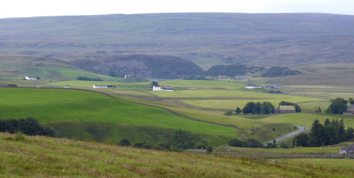
Anyway, here’s what to expect on the route. It’s a demanding but glorious ride, with endless grand views and constantly changing scenery, a mix of ups, downs, fells, villages, moors and more. Seven Summits: a high time in the North Pennines.
GREAT DUN FELL
The highest cyclable tarmac ‘road’ in England (indeed, Britain) is the service route for the NATS radar station at the top of Great Dun Fell, just west of all the roads mentioned here. It’s not a public road but is a bridleway, so you can legally cycle right to the top, which is a whopping 850m. You then have to turn round and freewheel back down (or continue on unsurfaced bridle paths). Read more
ANOTHER MAP, THIS TIME WITH TOO MANY ARROWS
A: Newbiggin-Westgate Road at Swinhope (#=3 • 609m)

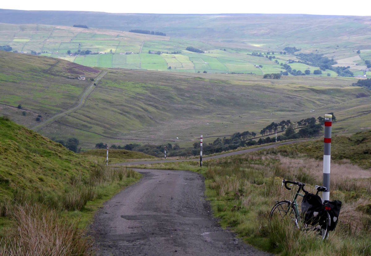
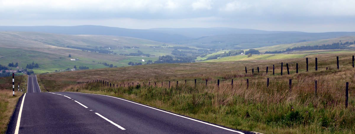
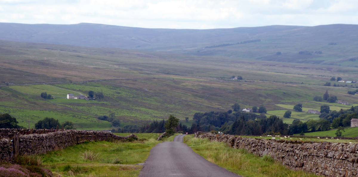
From the village of Newbiggin down the road from Langdon Beck, a narrow, smooth tarmac strip elevates you brusquely north up the hillside. This used to be a drove road for moving flocks of sheep, whose descendants keep wandering in front of you.
The greenery of Teesdale drops away behind you, and a steady straightish climb past the odd farmhouse arrives at a cattle grid that marks the top. Suddenly Weardale appears below, and a fast smooth road with only a couple of bends offers an exhilarating swoop down to Daddry Shield, plus an annoying upwards stretch in the middle.
I had the road to myself today, except for the sheep.
B: Chapel Fell at Harthope (#1 • 626m)
Rising abruptly out of St John’s Chapel up the side of the fell, this feels more like a B road than the C road it is, and is relatively busy with motorbikes and cars ticking it off as quickly as possible. It has a clarity to it: the summit is clearly in view from the bottom, as is a thrilling sign saying CYCLISTS This route is liable to poor weather conditions at all times.

They weren’t joking: it drizzled and howled with wind. It’s a challenging but straightforward ride up on an excellent surface, and at the top there are sweeping views. Down there, Cronkley Scar, Yorkshire’s northernmost craggy hinterland; in the distance, looking like a giant golf ball about to roll off the top of the hill, the dome of Great Dun Fell’s radar station; to the side, mines and quarries gouged out the land.
Congratulations: you are now the top cyclist in England. Probably; there could be a very tall person on a penny-farthing wearing a top hat cresting the A689. Best stand on tiptoe just in case.
After some undulations on the moortop, it’s a briefer-than-expected whizz down to Langdon Beck. Don’t drop in to the pub yet: we’ll be back here later on. We turn right, up the B road, heading northwest.
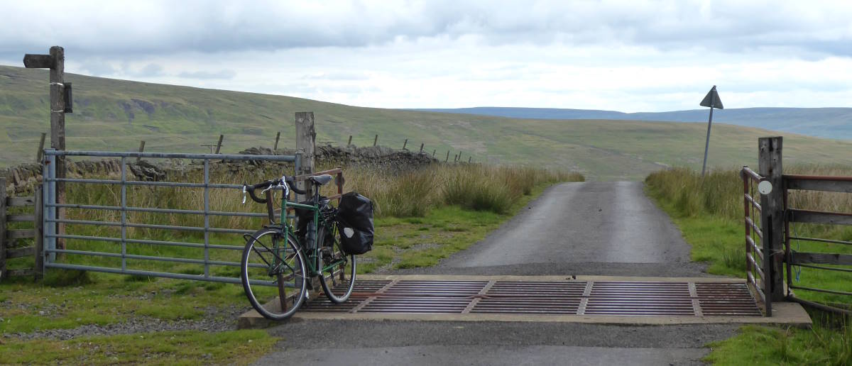
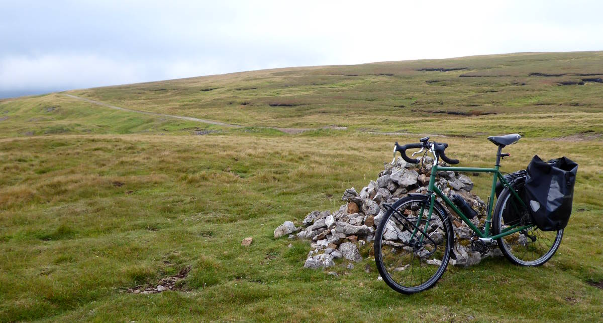
C: Grasshill Causeway at Coldberry End (#0 • 674m)
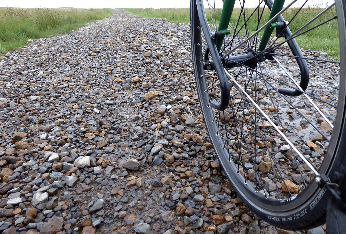
Rocky, pebbly and rough, this is not my idea of cycling fun, unless you’re on a full-suspension MTB. It’s like trying to ride Chesil Beach.
I had to push the couple of kilometres to the top from where it joins the B road, at a very easily-missed gate. There’s the frisson of a cairn at the top, and a windswept summit feel with aerial views.
There’s another kilometre or two of craggy push downhill, unless your rock-riding skills are much better than average, until ancient broken tarmac appears just as you glimpse the reservoir below.
After a kilometre of that, proper smooth tarmac – the reservoir access road – will make you rejoice as you can now zoom down the bendy but fast empty lane into Ireshopeburn. Now you’re on the A689, heading northwest up the Wear valley.
(If you want to do a tarmac-only version of this ride, missing out Grasshill Causeway, see the alternative route at the bottom of this page.)
D: A689 at Killhope Cross (#2 • 623m)
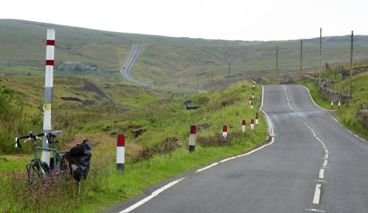
For an A road, this is pretty quiet. You pass through a couple of villages and eventually go past a lead mine museum, with cafe and groups of people in hard hats on a guided tour. About now you see the road stagger its way up the head of the valley, and vault over the top.
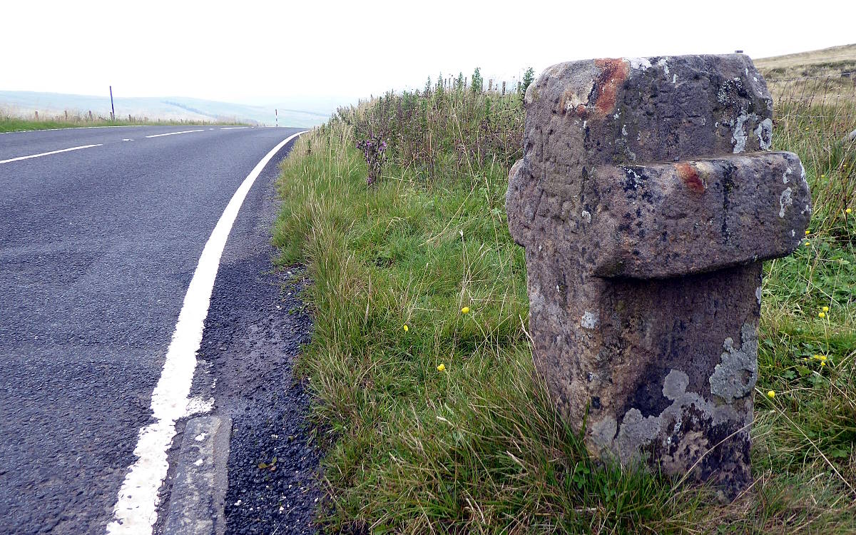
The climb is a straightforward steep haul, and there’s no false summits: you can clearly see how you’re doing. The top really feels like the top, with signs and an ancient stone cross. Congratulations: you are now at the very alpha of A roads in England.
Behind you sprawls the valley, and in front of you, revealed theatrically over the lip of the hilltop, a new and vast rolling panorama.
E: NCN7 at Black Hill (#=3 • 609m)
Coming in short order after Killhope Cross, Black Hill is only a 90m-odd plunge down, then a 70m-odd climb up on the lane off right. Cyclists doing the Coast to Coast (C2C) come this way, along NCN (National Cycle Route) 7 – indeed, it’s the highest point on their odyssey, and a memorable one. I vividly remember all the times I’ve done it myself. Three or four, I think. Or it is just two? Actually, maybe five.
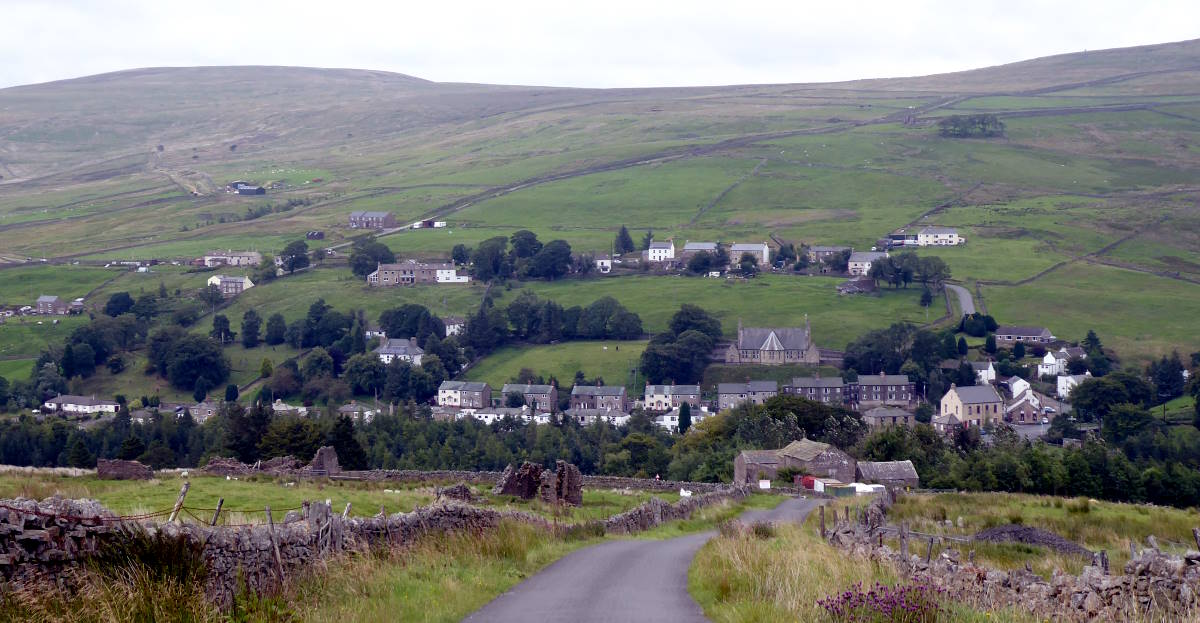
Anyway, having enjoyed the breezily exhilarating views all around, and perhaps saying hello to some weary C2Cers, you can hurtle – or rather, pick your way gingerly – down the rough farm track to Nenthead. (Or, better, just take the tarmac route back to the A road and right into the village.)

Here you can relax in the lovely Hive cafe, buy snacks from the friendly village shop, get your bike tweaked at the excellent bike shop, and campaign to have the closed village pub reopened as a pub instead of being sold as housing.
F: Dowgang Hush at Nunnery Hill (#5 • 599m)
The colourfully-named lane is a precipitous 20% vault up out of Nenthead and down into the glowering valley south of Alston, another notorious element of the C2C route.
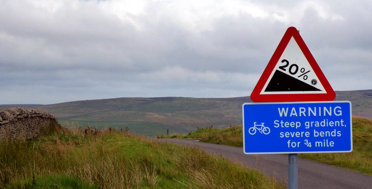
There are brief wooded areas, a rarity in this austere, bald landscape. At the top is a stern warning sign for those descending what you have just climbed. The vistas as you whoosh down are imposing and the world suddenly feels wide.
Left, not quite at the bottom, is the B6277, which will take us all the way back to Langdon Beck by our final steady climb of the day.
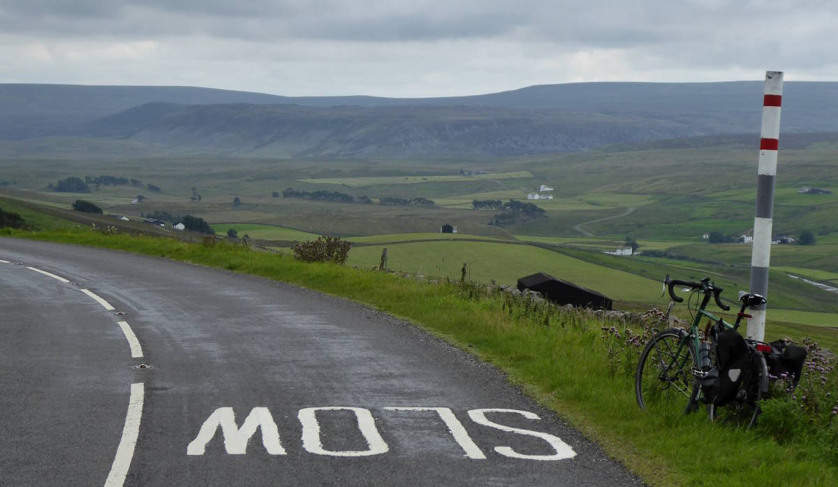
G: B6277 at Yad Moss (#6 • 598m)

It’s a steady and scenic crawl up the B road, whose summit is pretty obvious in front of you. Except, when you get there, it isn’t. There’s a plateau at the top, and it really isn’t clear where the crest is: no feeling of summit, just bare fellsides and gradual topography.
The actual top, I reckon after a lot of post-ride deskwork and mouse-clicking on map overlays, is at the dull, illegible milestone on your left.
The expected downhill doesn’t quite come for a while – you’re scooting along the level – but eventually the road gives in and lets you freewheel back down the few kilometres to Langdon Beck Hotel.
Refreshment awaits here. I recommend a pint of the Allenheads Waymarker. It seems appropriate for such a ride.
So, there you have it: all six of England’s highest roads in one fell swoop, plus another high-achieving track. If you want to do it all on tarmac, avoiding Grasshill Causeway’s impression of a Martian surface, follow the route below, which is less satisfying topologically, but more satisfying in terms of not needed your hiking boots.
MAP: SIX SUMMITS