e2e.bike

Cycling adventures across Yorkshire, Britain and beyond

Menu
  • End to Ends
    • Britain
    • Ireland
    • France
    • Spain
    • Portugal
    • Belgium
    • Netherlands
    • Luxembourg
    • Denmark
    • Austria
    • Switzerland
    • Czechia
    • Slovakia
    • Poland
    • Latvia
    • Cuba
    • Sri Lanka
    • Taiwan
    • Isle of Man
    • Faroes
    • Liechtenstein
  • Coast to Coasts
  • Yorkshire Ridings
  • Others
  • Writings
Menu
← PreviousNext →

Dartmoor 3: Thatcher era, satnav age

Posted on 28 July 20192 April 2021 by Rob Ainsley

Final day of route research in lovely Dartmoor.

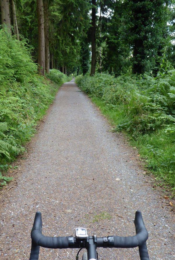
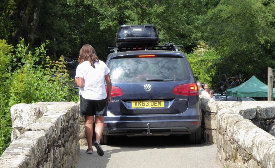
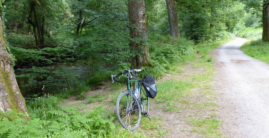
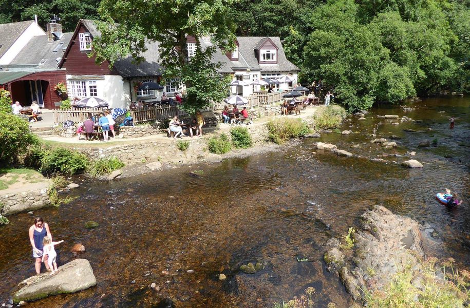
Quaint Lustleigh. One place you can talk about the ‘Thatcher era’ and I don’t get angry.

Railtrail between Moretonhampstead and Bovey Tracey, which has been blocked for several years by the name.
Memo: Don’t trust satnav in Devon.
The super bridleway by the side of the Teign up to Fingal’s Bridge. Possibly unique in Devon: a cyclable path without any 1 in 3 gradients.
Fingal’s Bridge Inn. Yes, of course I did.
Previous
←   Dartmoor 2: Fair weather cycling
Next
Exeter: Maths rivers →

You are here

e2e.bike > Other > Route research > Dartmoor 3: Thatcher era, satnav age

Recent Posts

  • Germany 9: Kassel to Beverungen 14 September 2025
  • Germany 8: Bad Hersfeld to Kassel 13 September 2025
  • Germany 7: Kothen to Bad Hersfeld 12 September 2025

Random Posts

  • Kiplingcotes: Course of history1 September 2020
    Yorkshire is proud of its ancient traditions. Someone has blown a horn …
  • Sri Lanka 21: Jaffna3 February 2015
    Linked by causeways (pic) and ferries, a chain of low-lying islands surrounds …
  • Quirky London 9: London Bridge (rems of)9 February 2010
    Where is it? The King’s Arms, a pub at 65 Newcomen St, …

Search e2e.bike

Find me

        
Facebook • Bluesky • Linked In • Email
© 2025 e2e.bike | Powered by Minimalist Blog WordPress Theme