The pub breakfast, served by a friendly lass wearing a dressing gown and a smile, was a fryup that could have set up a bodybuilder for a cage fight, or even a touring cyclist for a sixty-mile jaunt to the end of the W2W.
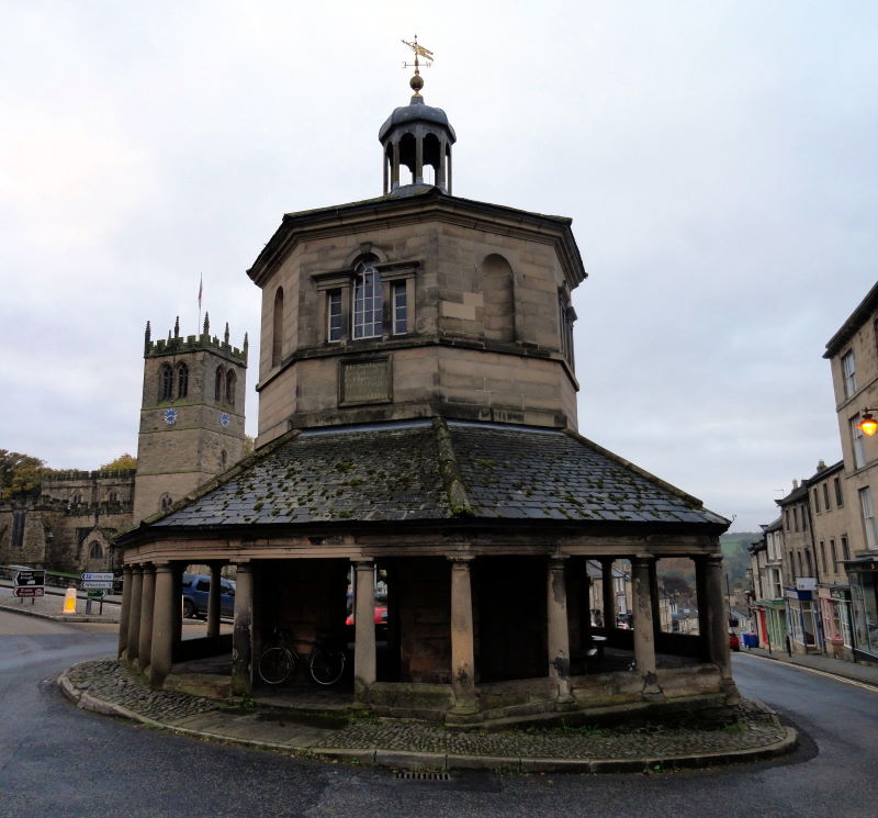
I stopped to gawp at the remarkably impressive Bowes Museum, an awesome chateau curiously situated on the edge of Barnard Castle’s rugged Pennines market town, to the bemusement of occasional London-based broadsheet journalists. It was closed, but I tootled round the grounds on my bike.
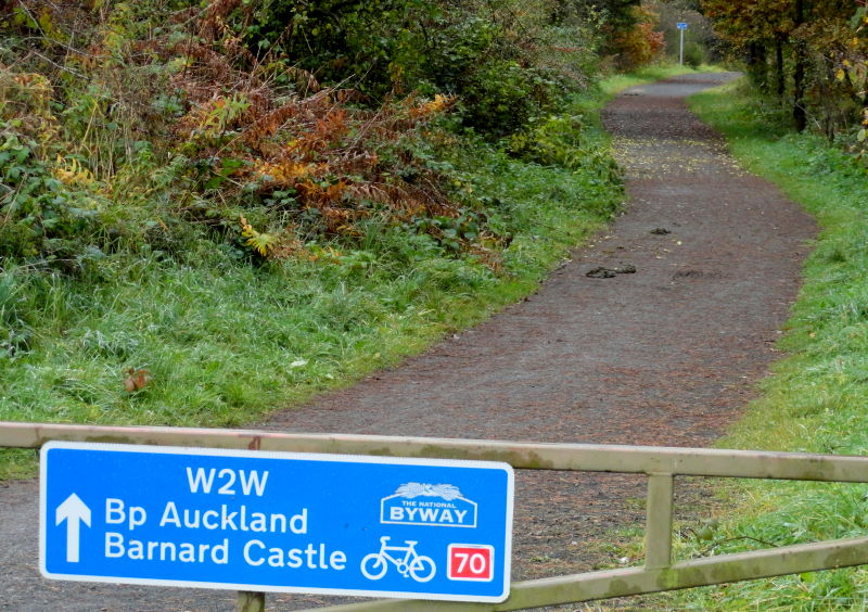
From here it was flattish roads, then less flattish roads, but I eschewed the prospect of muddy minor roads and tracks in favour of fast main-road tarmac to Bishop Auckland. I snacked on a coffee and cake in the high street and felt happy.
Out of BA, I opted to take the back lane from behind the castle; it goes alongside the river but, as I soon found, missed the famous Newton Cap (car and) bike viaduct as well as the first stretch of the Bishop Auckland to Brandon railtrail.
However, my option rewarded me with nice views and no mud, if also some sharp hills. I did eventually find my way to the railtrail and spattered my way over ten splodgy brown miles to the outskirts of Durham.
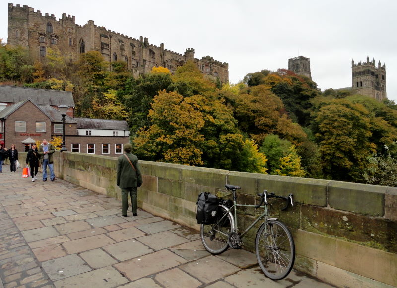
It took a while to find my way into the centre thanks to tortuous Sustrans signs, one of them saying Pity Me, which seemed appropriate. I had a quick look at the centre, which feels similar to that of my home in York in many ways, such as the tourists wandering round looking at their phones trying to work out where there are.
I spent half an hour in the Cathedral, which is indeed awesome, and transfixes with its amazing stained glass. I left all my loose change in the donation box in gratitude.
It was chilly and grey now, and I was getting fed up of the rainjacket paradox: take it off and you’re too cold, keep it on and you’re too hot – and get wet anyway because you sweat, ‘breathable fabric’ or no.
I followed the Sustrans signs along the river whose path promised more than it delivered, and then went over a hill, and then got lost, having missed the possibly nonexistent sign, and then wasted half an hour blundering my way back towards the centre.
In a silent, internal, anti-Sustrans rant – a rather well-rehearsed one, I’m afraid – I decided to dispense with their route recommendations and took the direct way, a rather busy B road to Easington and then a rather busy B road up to Sunderland. But it worked, and I preferred the tedium of a headwind on a functional road than trying to read an OS map in the rain.
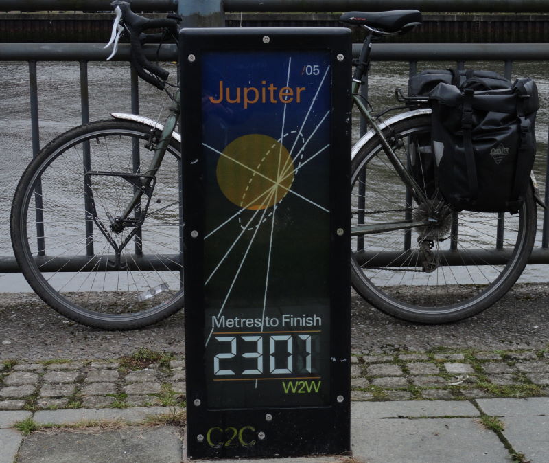
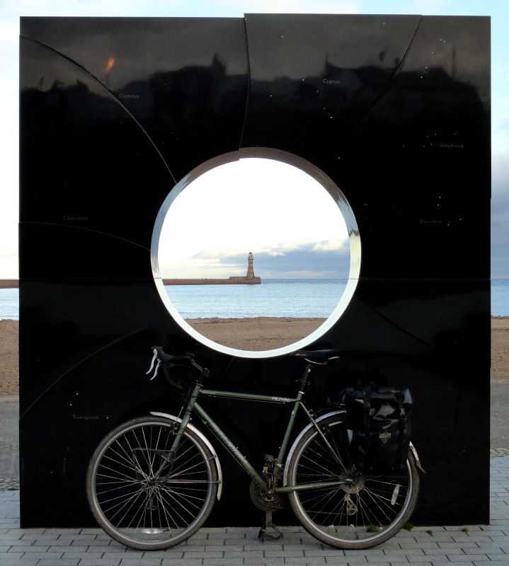
I got into Sunderland centre by half four, about the time I expected. I scoped out the location of the essentials – the train station, and Wetherspoons – and took the riverside path past a display of panels celebrating the solar system to the End of the C2C / W2W at Roker Pier.
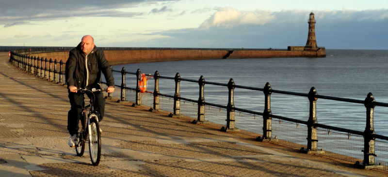
I took a few commemoration snaps and trundled to end of pier. Then, thanks to my research, I could spend a blissful two hours with a pint or two, awaiting my train, and looking back over the photos of my splendid trip. I find such preparation always pays. When you earn what I do, that’s just as well.
Conclusions about the W2W
A challenging ride, perhaps more enjoyed by the regular rider than a first-time tourer. It can be challenging, with lots of remote sections, but its rugged and scenic character – and the characterful towns and villages en route, as well as the Tan Hill Inn – make it a ride to remember fondly. But we’d advise taking OS maps and being prepared to improvise when the Sustrans route evaporates!
Miles today: 60
Miles Barrow to Sunderland: 160