Day 2 of the fourth of my Yorkshire Compass Rides was a morning of misty hills, the setting of a comedy that wouldn’t die, the magnificently bleak Saddleworth Moor, some awesome reservoir views, and a border that wouldn’t die either.

From Grange Moor I headed on back lanes (pic) past the village of Lepton. This must be one of the few places in the world named after an elementary particle in subatomic physics. They should twin it with Boson Island in Canada. Shortly afterwards I cycled right underneath the Emley Moor mast. At least I think I did. It was so cloudy up there I couldn’t see it.
 I’d had a very early start, and arrived in Holmfirth (pic), with its picturesque cottages stacked over steep cobbled lanes, about 9am.
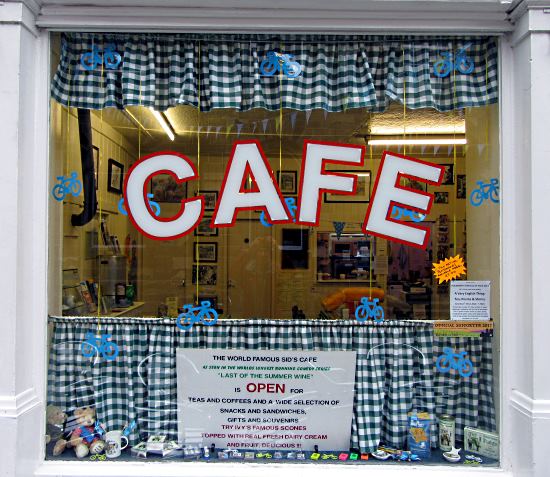
Holmfirth Folk Festival was on this weekend, though the folk dancing was not due to start until later that morning. So I had a lucky escape.  I had a cup of tea at Sid’s Cafe (pic), whose decor reminds you of a long-running farce located here that involves men behaving disgracefully. I’m referring to the Tour de France, which visited in 2014.
Oh, OK, Holmfirth is also famous as the setting for Last of the Summer Wine, the BBC series which somehow lasted from 1973 to 2010. You can see many locations that featured repeatedly in every episode, and which had stayed unchanged for well over a hundred years.
Actually, both of those apply to the jokes too.

A long climb out of Holmfirth took me on to Saddleworth Moor (pic), a place with some very dark associations. Once at the top – nearly 500m up, and it feels like it – it was a thrilling ride with a brisk tailwind past peat bogs and scowling road cyclists labouring the other way into the wind. They were a miserable lot, and few returned my cheery wave as I freewheeled past them. I wonder why.

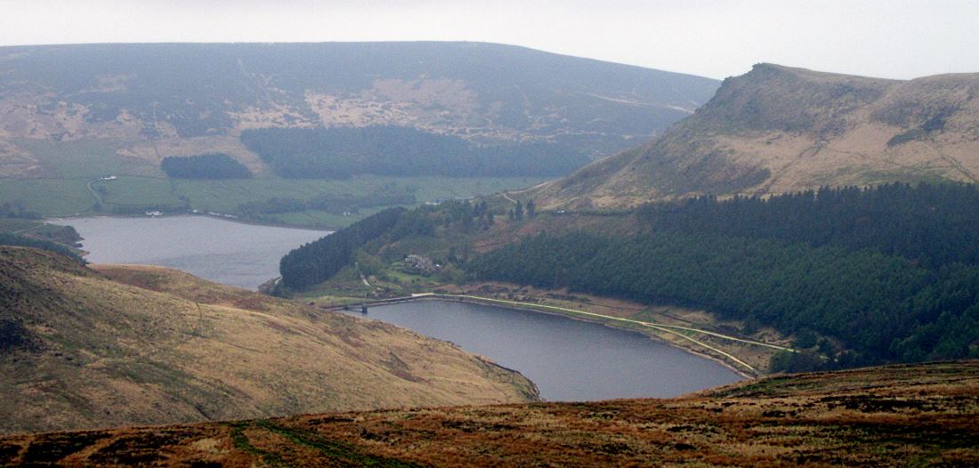
The ride down the other side of the moor was a great bending descent through picturesque reservoir country (pic) to the valley bottom: Saddleworth. I crossed the remarkable transpennine Huddersfield Narrow Canal, restored in 2001.
And here’s where the question of borders gets as bogged down as walkers on the top of that peaty moor. Nowadays, Lancashire officially starts at the highest point on Saddleworth Moor (at the picture above with the ‘Welcome to Saddleworth’ sign, in fact, despite what it then says).

But the historic, pre-1974, boundary is about 10km further west. It’s somewhere on this road (pic), just before the bend right; we’re looking westwards, and still in historic Yorkshire but firmly in modern-day Lancashire. Oldham, in fact, if you can call it modern-day.
I was wary about asking directions here, as I thought the request ‘Can you tell me the best way to Oldham?’ might be misunderstood.

But many people living here still identify with Yorkshire. As indeed did the friendly chap I chatted to at County End, where a sign marking the true boundary was put up in 2010 (pic). He still regards Saddleworth as Yorkshire, and cites as proof the fact that his golf club (like many other sports clubs, music groups and so on) participates in the Yorkshire leagues. In fact, many people maintain that the ‘historic’ border was never rescinded except for technical administrative purposes.
Curiously, there’s a 50m gap between the historic border signs for Lancashire and Yorkshire. Is this some sort of DMZ? Are the inhabitants of the strip stateless? Clearly borders matter, though the way they resolved things at Towton was a bit extreme.
Anyway, it had been a fine ride. I made my way back to Greenfield station and got the train home, stopping off at Stalybridge station bar for a celebration pint. In Lancashire.
Miles today: 28
Total miles York to Saddleworth: 65